


Wes Marshall and Norman Garrick, after a study of data from 130,000 car crashes in California, have determined that cities built since since 1950 have more dangerous roads than those built before 1950.
"The newer cities tend to have more "dendritic" networks - branching, tree-like organizations that include many cul-de-sacs, limiting the movement of traffic through residential areas. They also don't have as many intersections. The pre-1950 cities, on the other hand, tend to be more grid-like, giving motorists many more routes to choose from.
For several decades, traffic specialists believed a tree-like hierarchy of streets was superior because it made residential neighborhoods quieter and presumably safer. But an American Society of Civil Engineers (ASCE) study cited by the UConn researchers points out that more-connected street networks tend to reduce travel speeds. That's important because even a small reduction in speed can boost safety - mainly by reducing the severity of the accidents.
A recent report from Europe found that when average vehicle speeds drop by just 5 percent, the number of injuries drops by 10 percent and the number of fatalities falls 20 percent. Extensively connected street networks may not have fewer crashes over all, but the crashes that occur are less likely to leave someone dead."
FULL STORY: Key to safer roads is identified in California study


Let’s End Traffic Stops
The technology to make traffic enforcement obsolete is becoming available. But in the U.S. willing to use it?

Has Progress on Travel Safety Run Off the Road?
Changing technology and rebuilding infrastructure to improve road safety are long-term strategies. How can enforcement and interventions that influence driver behavior make a difference in reducing traffic deaths sooner?
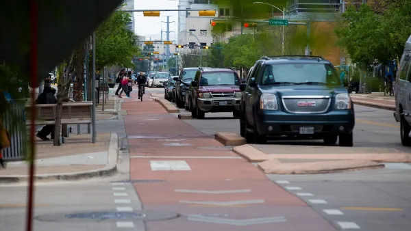
Austin Outlaws Blocking Bike Lanes
Drivers who park in bike lanes will receive citations of up to $300.

National Parks Layoffs Will Cause Communities to Lose Billions
Thousands of essential park workers were laid off this week, just before the busy spring break season.

Retro-silient?: America’s First “Eco-burb,” The Woodlands Turns 50
A master-planned community north of Houston offers lessons on green infrastructure and resilient design, but falls short of its founder’s lofty affordability and walkability goals.

Delivering for America Plan Will Downgrade Mail Service in at Least 49.5 Percent of Zip Codes
Republican and Democrat lawmakers criticize the plan for its disproportionate negative impact on rural communities.

Test News Post 1
This is a summary

Test News Headline 46
Test for the image on the front page.

Balancing Bombs and Butterflies: How the National Guard Protects a Rare Species
The National Guard at Fort Indiantown Gap uses GIS technology and land management strategies to balance military training with conservation efforts, ensuring the survival of the rare eastern regal fritillary butterfly.
Urban Design for Planners 1: Software Tools
This six-course series explores essential urban design concepts using open source software and equips planners with the tools they need to participate fully in the urban design process.
Planning for Universal Design
Learn the tools for implementing Universal Design in planning regulations.
EMC Planning Group, Inc.
Planetizen
Planetizen
Mpact (formerly Rail~Volution)
Great Falls Development Authority, Inc.
HUDs Office of Policy Development and Research
NYU Wagner Graduate School of Public Service