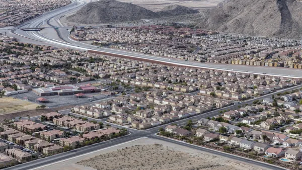
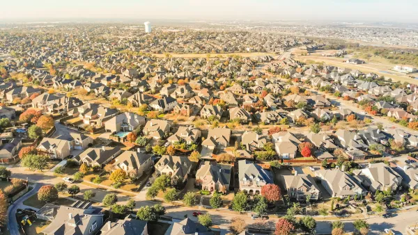
A new comprehensive plan being released in Raleigh has many -- both in and out of the city -- wondering what's the best way to grow in the post-sprawl world.
"The era of suburban sprawl is ending, these planners maintain, not simply because of high gas prices, but because it is fundamentally unsustainable. As Christopher Leinberger, a fellow at the Brookings Institution in Washington, D.C., put it in a recent talk, the more "drivable suburban" neighborhoods a city allows, the lower the quality of life becomes for everyone living in them. The fastest-growing market now, said Leinberger, a developer, is for "walkable urban" places: the kind Raleigh doesn't have, yet needs to create, that are modeled on what cities were before cars took them over."
"Such places are far more complicated to build and manage than the suburbs, Leinberger said. But done right, these areas improve as they grow. They have more cultural diversity and housing options-and with public transit, the chance for people to save money by owning fewer cars, or none. If Raleigh fails to create them, Leinberger warned, 'You will be left in the 20th century.'"
"The question for Raleigh is where these walkable urban places should be."
"Leinberger's analysis and the other experts' jibes with the basic goal of the comprehensive plan to curb sprawl and guide development into designated "growth centers." Yet it also raises the issue of whether the plan identifies too many centers-including some in places that can never be urban."
"In addition to the downtown regional center, the plan shows seven other "city growth" areas. Some of the seven are tangential to a string of distinct, "transit-oriented development" zones along a planned commuter-rail line; some are along the beltline highways (Interstate 440 and Interstate 540) and nowhere near the transit corridor."
"The plan invites the redevelopment of shopping centers and strip malls along these and other major roads, such as Capital Boulevard, as mixed-used urban spaces. But to hear the planners tell it, such redevelopments are rare."
FULL STORY: Imagine Raleigh without sprawl

National Parks Layoffs Will Cause Communities to Lose Billions
Thousands of essential park workers were laid off this week, just before the busy spring break season.

Retro-silient?: America’s First “Eco-burb,” The Woodlands Turns 50
A master-planned community north of Houston offers lessons on green infrastructure and resilient design, but falls short of its founder’s lofty affordability and walkability goals.

Delivering for America Plan Will Downgrade Mail Service in at Least 49.5 Percent of Zip Codes
Republican and Democrat lawmakers criticize the plan for its disproportionate negative impact on rural communities.

Test News Post 1
This is a summary

Test News Headline 46
Test for the image on the front page.

Balancing Bombs and Butterflies: How the National Guard Protects a Rare Species
The National Guard at Fort Indiantown Gap uses GIS technology and land management strategies to balance military training with conservation efforts, ensuring the survival of the rare eastern regal fritillary butterfly.
Urban Design for Planners 1: Software Tools
This six-course series explores essential urban design concepts using open source software and equips planners with the tools they need to participate fully in the urban design process.
Planning for Universal Design
Learn the tools for implementing Universal Design in planning regulations.
EMC Planning Group, Inc.
Planetizen
Planetizen
Mpact (formerly Rail~Volution)
Great Falls Development Authority, Inc.
HUDs Office of Policy Development and Research
NYU Wagner Graduate School of Public Service


