


MIT's SENSEable City Lab is featuring a prototype of a futuristic bus stop, complete with real-time route mapping, e-ink surfaces, and estimates of your exposure to pollutants along the way.
FROM THE PRESS RELEASE:
"At the touch of a finger users can indicate their desired destination; the system will then display the shortest bus route from where they are and the position of all relevant buses real?time. The EyeStop will glow at different levels of intensity to signal the distance of an approaching bus. Riders and passers?by can also post
ads and community announcements to an electronic bulletin board placed on the bus stop, enhancing its functionality as a public space ? a place to gather and exchange community relevant information.
In addition to displaying information, the bus stop also acts as an active environmental sensing node, powering itself through sunlight and collecting real time information about air quality and the urban environment. "EyeStop is an experiment into urban computing: it may be considered an 'info?tape' that snakes through the city, rising up like a pole or cropping out of the sidewalk like a shelter. It senses information about the environment and distributes it in a form accessible to all citizens,"commented project leader Giovanni de
Niederhousern."
FULL STORY: EyeStop


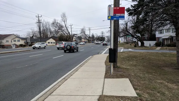
Phoenix Shade Plan Focuses on Bus Stops
The city’s updated Shade Master Plan calls for trees and built structures at bus stops to protect residents from heat.
DC’s Hottest Neighborhoods Have the Least Shade
Areas most exposed to extreme heat also tend to lack bus shelters and benches at bus stops.

The Value of Beauty at Bus Stops
While some rail stations get the starchitect treatment, most bus stops fail to offer aesthetic value. One study suggests this is a mistake.

National Parks Layoffs Will Cause Communities to Lose Billions
Thousands of essential park workers were laid off this week, just before the busy spring break season.

Retro-silient?: America’s First “Eco-burb,” The Woodlands Turns 50
A master-planned community north of Houston offers lessons on green infrastructure and resilient design, but falls short of its founder’s lofty affordability and walkability goals.

Delivering for America Plan Will Downgrade Mail Service in at Least 49.5 Percent of Zip Codes
Republican and Democrat lawmakers criticize the plan for its disproportionate negative impact on rural communities.

Test News Post 1
This is a summary

Test News Headline 46
Test for the image on the front page.

Balancing Bombs and Butterflies: How the National Guard Protects a Rare Species
The National Guard at Fort Indiantown Gap uses GIS technology and land management strategies to balance military training with conservation efforts, ensuring the survival of the rare eastern regal fritillary butterfly.
Urban Design for Planners 1: Software Tools
This six-course series explores essential urban design concepts using open source software and equips planners with the tools they need to participate fully in the urban design process.
Planning for Universal Design
Learn the tools for implementing Universal Design in planning regulations.
EMC Planning Group, Inc.
Planetizen
Planetizen
Mpact (formerly Rail~Volution)
Great Falls Development Authority, Inc.
HUDs Office of Policy Development and Research
NYU Wagner Graduate School of Public Service