


Recently, an acquaintance asked me how to measure the walkability of a place he was visiting. I could have told him to just look at Walkscore (www.walkscore.com). Walkscore assigns scores to places based on their proximity to a wide variety of destinations. So if a place has a high walkscore AND a walkable street design (e.g. narrow streets, a grid system, etc.) it is probably pretty walkable.

Recently, an acquaintance asked me how to measure the walkability of a place he was visiting.
I could have told him to just look at Walkscore (www.walkscore.com). Walkscore assigns scores to places based on their proximity to a wide variety of destinations. So if a place has a high walkscore AND a walkable street design (e.g. narrow streets, a grid system, etc.) it is probably pretty walkable.
But of course, some places are near lots of destinations yet have very anti-pedestrian street designs. My old neighborhood in Jacksonville has high Walkscore ratings (at least for the neighborhood's main street, San Jose Blvd.). Nevertheless, it is not particularly walkable because the main street in question is an eight-lane speedway.
So how do you find out in advance if a neighborhood is less walkable than its Walkscore rating indicates? First, go to maps.google.com and click on the address you are interested in. On the upper left hand corner of the map, you should see a little human-like icon, which ideally should be yellow. Where the icon is yellow, you can drag it to the place you are interested in, see the street, and thus get a sense of how walkable the street is. You should be able to see how wide the street is, and whether there are sidewalks. Then you can drag the icon around to neighboring streets to get a sense of how walkable those streets are. On the other hand, where the icon is gray, this "Street View" feature is unavailable and you are out of luck. (You can still get an aerial view of the street by clicking on the "Satellite" link at the upper right hand corner of the map; however, aerial maps don't tell you nearly as much as "Street View"). Generally, Street View is available for larger cities in the United States and a few other countries. However, it is less available for smaller cities.

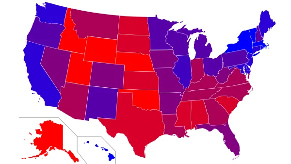
Where the Candidates Live
Some presidential candidates favor sprawl, but a surprising number live in cities or inner-ring suburbs.

The Coolest Buildings Aren't Green
Creating 'greener' buildings will help address climate change... right?

Indexing Affordability and Walkability in the United States
Dave Munson discovered the neighborhoods throughout the United States that are both affordable by his salary and walkable.

Analysis: Cybertruck Fatality Rate Far Exceeds That of Ford Pinto
The Tesla Cybertruck was recalled seven times last year.

National Parks Layoffs Will Cause Communities to Lose Billions
Thousands of essential park workers were laid off this week, just before the busy spring break season.

Retro-silient?: America’s First “Eco-burb,” The Woodlands Turns 50
A master-planned community north of Houston offers lessons on green infrastructure and resilient design, but falls short of its founder’s lofty affordability and walkability goals.

Test News Post 1
This is a summary

Analysis: Cybertruck Fatality Rate Far Exceeds That of Ford Pinto
The Tesla Cybertruck was recalled seven times last year.

Test News Headline 46
Test for the image on the front page.
Urban Design for Planners 1: Software Tools
This six-course series explores essential urban design concepts using open source software and equips planners with the tools they need to participate fully in the urban design process.
Planning for Universal Design
Learn the tools for implementing Universal Design in planning regulations.
EMC Planning Group, Inc.
Planetizen
Planetizen
Mpact (formerly Rail~Volution)
Great Falls Development Authority, Inc.
HUDs Office of Policy Development and Research
NYU Wagner Graduate School of Public Service