


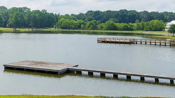
Orenco Station in Portland, OR shows that traditional neighborhood development (TND) can decrease car use and encourage walking, according to a new study.
"The study was based on a door-to-door survey of four neighborhoods in the Portland, Oregon, area. One was a conventional suburb in Beaverton, Oregon. Two were neighborhoods in Portland with differing physical characteristics and histories. The last was Orenco Station, one of the best-known new urban developments in the Northwest, with approximately 1,850 housing units and a town center that includes 68,000 square feet of ground-floor commercial space on a total of 190 acres.
The physical design of Orenco Station, with its pedestrian-friendly network of streets, small parks and public spaces, differs substantially from the other neighborhoods studied - especially the conventional suburb containing large lots, cul-de-sacs, and few sidewalks. Data was collected from Orenco Station in 2002 and 2007, offering insights into how attitudes change in a new urban community over time. A paper that fully describes the study will be published in an upcoming urban research journal."
Among the findings: Ten times more Orenco Station residents regularly walk to a store than do the inhabitants of the Beaverton suburb. "This achievement likely contributes not only to environmental sustainability but to personal health," the researchers note.
Thanks to Renee Brutvan
FULL STORY: New urban community promotes social networks and walking

A Primer on Suburban Urbanism
How one master-planned development used lower-density urbanism principles to build a community focused on affordability, sustainability, and conservation.
A ‘New Urbanism’ Travelogue
I visited three New Urbanist developments in North Carolina. Here's what I liked, what I didn't like, and what I learned.
Urban Villages: The Key to Sustainable Community Economic Development
Compact, walkable urban villages support sustainable economic development by reducing transportation costs, leaving residents with more money to spend on local goods, and by creating more efficient and attractive commercial districts.

National Parks Layoffs Will Cause Communities to Lose Billions
Thousands of essential park workers were laid off this week, just before the busy spring break season.

Retro-silient?: America’s First “Eco-burb,” The Woodlands Turns 50
A master-planned community north of Houston offers lessons on green infrastructure and resilient design, but falls short of its founder’s lofty affordability and walkability goals.

Delivering for America Plan Will Downgrade Mail Service in at Least 49.5 Percent of Zip Codes
Republican and Democrat lawmakers criticize the plan for its disproportionate negative impact on rural communities.

Test News Post 1
This is a summary

Test News Headline 46
Test for the image on the front page.

Balancing Bombs and Butterflies: How the National Guard Protects a Rare Species
The National Guard at Fort Indiantown Gap uses GIS technology and land management strategies to balance military training with conservation efforts, ensuring the survival of the rare eastern regal fritillary butterfly.
Urban Design for Planners 1: Software Tools
This six-course series explores essential urban design concepts using open source software and equips planners with the tools they need to participate fully in the urban design process.
Planning for Universal Design
Learn the tools for implementing Universal Design in planning regulations.
EMC Planning Group, Inc.
Planetizen
Planetizen
Mpact (formerly Rail~Volution)
Great Falls Development Authority, Inc.
HUDs Office of Policy Development and Research
NYU Wagner Graduate School of Public Service