


Researchers from Georgia Tech are blending real-time video with imagery from Google Earth to create dynamic visualizations of urban places. [Video]
"They use live video feeds (sometimes from many angles) to find the position and motion of various objects, which they then combine with behavioral simulations to produce real-time animations for Google Earth or Microsoft Virtual Earth.
They use motion capture data to help their animated humans move realistically, and were able to extrapolate cars' motion throughout an entire stretch of road from just a few spotty camera angles."
FULL STORY: Augmented Google Earth Gets Real-Time People, Cars, Clouds

Images for Planning: Free Internet Resources
Visual communication is becoming more sophisticated in planning, however many online image sources are restricted and require payment for use. Others, such as flikr.com and Google Images are extremely useful but have uneven quality and information provided about the images can be difficult to assess. While flckr.com and Google Images will remain a key resource, a number of other online image databases provide more consistent metadata along with free access.

Air Pollution, Visualized
The New York Times created a visualization of air pollution that allows comparisons between local conditions and the worst air pollution in the world.
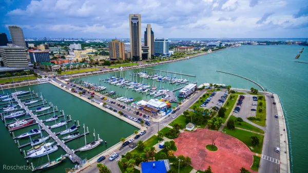
Visualizing Worst-Case Scenario Sea Level Rise on the Texas Coast
Much of the state political leadership in Texas has been slow to accept the existence of climate change, much less the role of the state's economy, land use, and infrastructure planning in exacerbating the crisis. Maybe this will help wake them up?

Analysis: Cybertruck Fatality Rate Far Exceeds That of Ford Pinto
The Tesla Cybertruck was recalled seven times last year.

National Parks Layoffs Will Cause Communities to Lose Billions
Thousands of essential park workers were laid off this week, just before the busy spring break season.

Retro-silient?: America’s First “Eco-burb,” The Woodlands Turns 50
A master-planned community north of Houston offers lessons on green infrastructure and resilient design, but falls short of its founder’s lofty affordability and walkability goals.

Test News Post 1
This is a summary

Analysis: Cybertruck Fatality Rate Far Exceeds That of Ford Pinto
The Tesla Cybertruck was recalled seven times last year.

Test News Headline 46
Test for the image on the front page.
Urban Design for Planners 1: Software Tools
This six-course series explores essential urban design concepts using open source software and equips planners with the tools they need to participate fully in the urban design process.
Planning for Universal Design
Learn the tools for implementing Universal Design in planning regulations.
EMC Planning Group, Inc.
Planetizen
Planetizen
Mpact (formerly Rail~Volution)
Great Falls Development Authority, Inc.
HUDs Office of Policy Development and Research
NYU Wagner Graduate School of Public Service