


Ron Ringen has logged more than 1,400 animals for a roadkill project. "I'm almost a fanatic with it," he said. "You get hooked."
The New York Times reports on fanatical roadkill trackers:
"While Mr. Ringen's friends goad him with nicknames like
Doctor Roadkill," he is not alone in his peculiar pursuit. Hundreds of volunteers collect and upload roadkill data to the California Roadkill Observation System, a mapping Web site built by researchers at the University of California, Davis, to better understand where and why cars strike animals.
The roadkill maps give researchers a better understanding of the environmental impacts of roads."
Researchers pour this information into GIS models to find locations where animals cross most frequently and recommend that safety measures be taken to protect them at those locations.
Thanks to Andrew Watanabe
FULL STORY: Mapping Traffic’s Toll on Wildlife

Transit and Car-Sharing Get Boost from Technology
The increase in transit ridership and carsharing isn't just due to the rise in gas prices, but also the rise in new technologies providing up-to-the-minute reports on location and ride availability.

Fighting Forest Pests With AI: A Hemlock Success Story
Fairfax County utilized GeoAI and ArcGIS technology to efficiently map and protect its hemlock trees from the invasive woolly adelgid, ensuring targeted pest management and preservation of its evergreen canopy.
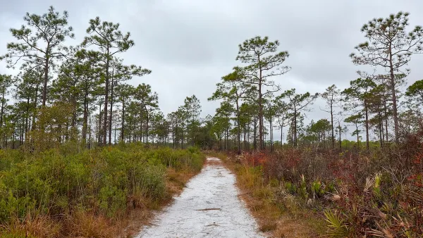
Harnessing GIS and Fire for Longleaf Pine Conservation
Scientists in Florida are using GIS technology to strategically manage prescribed burns, aiding in the restoration and biodiversity of longleaf pine ecosystems while enhancing climate resilience across the Southeast.

National Parks Layoffs Will Cause Communities to Lose Billions
Thousands of essential park workers were laid off this week, just before the busy spring break season.

Retro-silient?: America’s First “Eco-burb,” The Woodlands Turns 50
A master-planned community north of Houston offers lessons on green infrastructure and resilient design, but falls short of its founder’s lofty affordability and walkability goals.

Delivering for America Plan Will Downgrade Mail Service in at Least 49.5 Percent of Zip Codes
Republican and Democrat lawmakers criticize the plan for its disproportionate negative impact on rural communities.

Test News Post 1
This is a summary

Test News Headline 46
Test for the image on the front page.

Balancing Bombs and Butterflies: How the National Guard Protects a Rare Species
The National Guard at Fort Indiantown Gap uses GIS technology and land management strategies to balance military training with conservation efforts, ensuring the survival of the rare eastern regal fritillary butterfly.
Urban Design for Planners 1: Software Tools
This six-course series explores essential urban design concepts using open source software and equips planners with the tools they need to participate fully in the urban design process.
Planning for Universal Design
Learn the tools for implementing Universal Design in planning regulations.
EMC Planning Group, Inc.
Planetizen
Planetizen
Mpact (formerly Rail~Volution)
Great Falls Development Authority, Inc.
HUDs Office of Policy Development and Research
NYU Wagner Graduate School of Public Service