


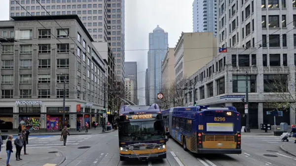
The Seattle Department of Transportation has released a map of all pedestrian deaths in the city, offering clues about where additional attention is needed.
Publicola takes a look at the map and notices some trends.
"While a large number of them cluster, as you might imagine, downtown (where people walk the most, and where an inexplicably controversial pedestrian-safety campaign was focused), an interesting trend emerges when you start looking at Southeast Seattle.
In five years-despite dire warnings from groups like Save Our Valley that surface-level light rail construction and operations would lead to a rash of pedestrian fatalities-there have been zero deaths in the past five years along Martin Luther King, Jr. Ave., where surface-level light rail opened in July 2009. In the same period, there have been seven deaths on or near MLK's parallel street, Rainier Ave."
FULL STORY: Pedestrian Death Map

Op-Ed: A Bold but Attainable Vision for Seattle’s Third Avenue
The editorial board of The Urbanist lays out their plan for a reimagined Third Avenue that plays to the strengths of the corridor while improving safety and transit service.

How to Produce Equitable Pedestrian Plans
The majority of pedestrian master plans consider how to make equitable walking infrastructure. Less than half of plans implement strategies to address the fact that people of color are disproportionately represented in pedestrian fatalities.
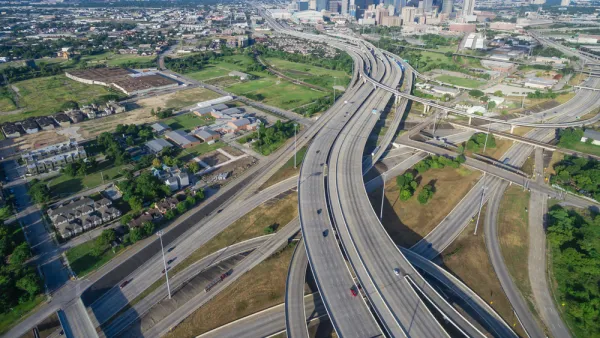
Refugees Learn to Survive as Pedestrians on Houston's Dangerous Streets
For one refugee family, living in Houston has meant facing a host of new challenges as they traverse the city’s roadways without a car.

Analysis: Cybertruck Fatality Rate Far Exceeds That of Ford Pinto
The Tesla Cybertruck was recalled seven times last year.

National Parks Layoffs Will Cause Communities to Lose Billions
Thousands of essential park workers were laid off this week, just before the busy spring break season.

Retro-silient?: America’s First “Eco-burb,” The Woodlands Turns 50
A master-planned community north of Houston offers lessons on green infrastructure and resilient design, but falls short of its founder’s lofty affordability and walkability goals.

Test News Post 1
This is a summary

Analysis: Cybertruck Fatality Rate Far Exceeds That of Ford Pinto
The Tesla Cybertruck was recalled seven times last year.

Test News Headline 46
Test for the image on the front page.
Urban Design for Planners 1: Software Tools
This six-course series explores essential urban design concepts using open source software and equips planners with the tools they need to participate fully in the urban design process.
Planning for Universal Design
Learn the tools for implementing Universal Design in planning regulations.
EMC Planning Group, Inc.
Planetizen
Planetizen
Mpact (formerly Rail~Volution)
Great Falls Development Authority, Inc.
HUDs Office of Policy Development and Research
NYU Wagner Graduate School of Public Service