


The U.S. Postal Service operates a massive fleet of trucks and vans throughout the country. Michael Ravnitzky argues that this fleet could be easily modified to collect data about the places the vehicles go.
He suggests the fleet could collect data on weather conditions and air pollutants throughout cities.
"After all, the delivery fleet already goes to almost every home and business in America nearly every day, and it travels fixed routes along a majority of the country's roads to get there. Data collection wouldn't require much additional staff or resources; all it would take would be a small, cheap and unobtrusive sensor package mounted on each truck. (This idea is mine alone, and does not necessarily reflect the views of the Postal Regulatory Commission.)
The key elements for the project already exist, including tiny, inexpensive G.P.S. receivers and radio uplinks, features found in today's smart phones. The sensors would operate without distracting the drivers from their primary responsibilities. The service could also minimize startup costs by teaming up with a company to develop, install and operate the equipment. One company under contract with the National Weather Service is already installing environmental sensors on long-haul commercial buses to enhance weather forecasting."
FULL STORY: The Postman Always Pings Twice


Debunking the Myth of the Declining White Population
Media claimed that Census data showed a sharp decline in America's white population, but the widely publicized figure reflects a misunderstanding of new data collection techniques.
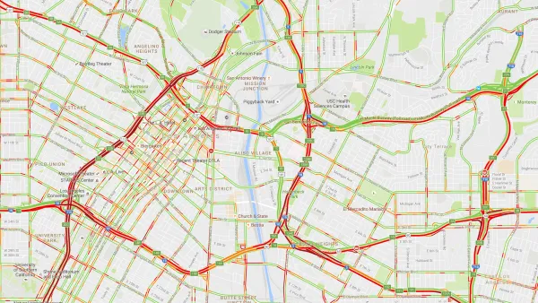
Real-Time Art Installation Reveals the Many Dimensions of Data
Using a wagon filled with phones, an artist in Berlin demonstrated the disconnect between data and the real world.

4 Urban Analytics and Modeling Trends to Watch in 2020
Urban analytics has the potential to benefit both planners and the world. Here' are a few ways that new data-based approaches can open new levels of analysis and understanding.

National Parks Layoffs Will Cause Communities to Lose Billions
Thousands of essential park workers were laid off this week, just before the busy spring break season.

Retro-silient?: America’s First “Eco-burb,” The Woodlands Turns 50
A master-planned community north of Houston offers lessons on green infrastructure and resilient design, but falls short of its founder’s lofty affordability and walkability goals.

Delivering for America Plan Will Downgrade Mail Service in at Least 49.5 Percent of Zip Codes
Republican and Democrat lawmakers criticize the plan for its disproportionate negative impact on rural communities.

Test News Post 1
This is a summary

Test News Headline 46
Test for the image on the front page.

Balancing Bombs and Butterflies: How the National Guard Protects a Rare Species
The National Guard at Fort Indiantown Gap uses GIS technology and land management strategies to balance military training with conservation efforts, ensuring the survival of the rare eastern regal fritillary butterfly.
Urban Design for Planners 1: Software Tools
This six-course series explores essential urban design concepts using open source software and equips planners with the tools they need to participate fully in the urban design process.
Planning for Universal Design
Learn the tools for implementing Universal Design in planning regulations.
EMC Planning Group, Inc.
Planetizen
Planetizen
Mpact (formerly Rail~Volution)
Great Falls Development Authority, Inc.
HUDs Office of Policy Development and Research
NYU Wagner Graduate School of Public Service