


The first piece of data from the 2010 U.S. Census has been released, showing state-by-state population information. The Urbanophile offers three maps that document how the country has changed since the last Census in 2000.
By reviewing the latest data release, Aaron Renn provides a visual of how the country has changed over time.
His blog includes three maps, such as "a map of the US for percentage change in population from 2000-2010, with color intensity proportional to the change. Michigan is shown in red as the only state to lose population, falling below the 10 million mark. Nevada is the champ at 35%."
FULL STORY: Census 2010 National and State Results Released

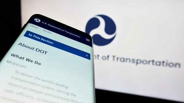
DOT Memo Directs Transportation Funding to Communities With Higher Marriage and Birth Rates, Compliance with Immigration Officials and No Mask Mandates
The memo ties immigration enforcement to federal funding and prohibits mask or vaccine mandates.

Detroit and Michigan on the Upswing
It's been 66 years since the Motor City last grew its population. Census data released last month revealed an increase of nearly 2,000 people last year, nearly half the state's population growth.

The 15 Fastest-Growing Cities in the US
The U.S. Census Bureau released new 2023 population estimates on May 16 showing a slew of data for cities of all sizes and regions. Do you know the population change last year for the 15 largest cities in your state?

Analysis: Cybertruck Fatality Rate Far Exceeds That of Ford Pinto
The Tesla Cybertruck was recalled seven times last year.

National Parks Layoffs Will Cause Communities to Lose Billions
Thousands of essential park workers were laid off this week, just before the busy spring break season.

Retro-silient?: America’s First “Eco-burb,” The Woodlands Turns 50
A master-planned community north of Houston offers lessons on green infrastructure and resilient design, but falls short of its founder’s lofty affordability and walkability goals.

Test News Post 1
This is a summary

Analysis: Cybertruck Fatality Rate Far Exceeds That of Ford Pinto
The Tesla Cybertruck was recalled seven times last year.

Test News Headline 46
Test for the image on the front page.
Urban Design for Planners 1: Software Tools
This six-course series explores essential urban design concepts using open source software and equips planners with the tools they need to participate fully in the urban design process.
Planning for Universal Design
Learn the tools for implementing Universal Design in planning regulations.
EMC Planning Group, Inc.
Planetizen
Planetizen
Mpact (formerly Rail~Volution)
Great Falls Development Authority, Inc.
HUDs Office of Policy Development and Research
NYU Wagner Graduate School of Public Service