


Geomapping data is helping police in cities address problem areas, improve unsafe intersections and improve overall efficiency.
This article from Governing looks at how police departments are taking crime and traffic data and using it to improve their services and save time.
"After mapping, they quickly noticed an overlap: Where crime is high, traffic incidents are often high as well. "You don't hear of walk-by shootings," says Michael Alexander, commander of the Metropolitan Nashville Police Department. "Most of the time the criminal element is either riding or driving in the car."
To address the overlap, the pilot agencies targeted specific areas, and stepped up their police presence and traffic enforcement in these places. The result? Decreases in robberies, vandalism, theft and many other crime categories, and increases in vehicle stops, warnings, traffic citations and DUI/DWI arrests."
FULL STORY: Data-Driven Policing

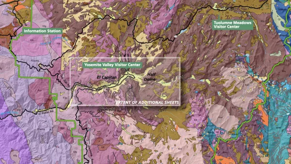
The Growing Importance of Location Intelligence
Location intelligence is transforming decision-making, with an increasing number and type of organizations modernizing operations with a geographic approach to problem-solving, planning, and prediction.
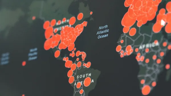
Visualizing the Coronavirus Pandemic
Mapping of the crisis is producing a fascinating and important trove of cartographic records.
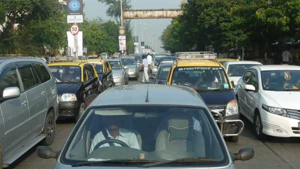
To Curb the Honking, Mumbai’s 'Punishing Signal'
Incessant honking just adds to the chaos on city streets, so Mumbai police put up a clever device to remind drivers that making noise will not ease traffic woes.

Analysis: Cybertruck Fatality Rate Far Exceeds That of Ford Pinto
The Tesla Cybertruck was recalled seven times last year.

National Parks Layoffs Will Cause Communities to Lose Billions
Thousands of essential park workers were laid off this week, just before the busy spring break season.

Retro-silient?: America’s First “Eco-burb,” The Woodlands Turns 50
A master-planned community north of Houston offers lessons on green infrastructure and resilient design, but falls short of its founder’s lofty affordability and walkability goals.

Test News Post 1
This is a summary

Analysis: Cybertruck Fatality Rate Far Exceeds That of Ford Pinto
The Tesla Cybertruck was recalled seven times last year.

Test News Headline 46
Test for the image on the front page.
Urban Design for Planners 1: Software Tools
This six-course series explores essential urban design concepts using open source software and equips planners with the tools they need to participate fully in the urban design process.
Planning for Universal Design
Learn the tools for implementing Universal Design in planning regulations.
EMC Planning Group, Inc.
Planetizen
Planetizen
Mpact (formerly Rail~Volution)
Great Falls Development Authority, Inc.
HUDs Office of Policy Development and Research
NYU Wagner Graduate School of Public Service