


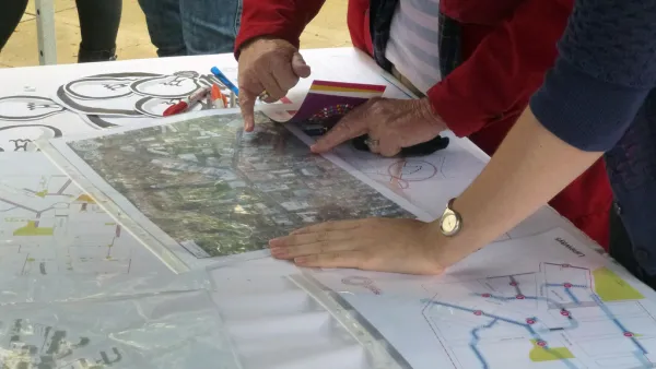
In the aftermath of Hurricane Irene, Fast Company's Boyd Cohen writes how New York City's preparedness for Hurricane's should include enhancing infrastructure in things like the Internet and transit.
Stories of people without wifi and power that flooded Starbucks and Dunkin Donuts calls for a more expansive internet infrastructure, Cohen argues.
"What if GPS, Wi-Fi and mobile technology were completely ubiquitous in all parts of the city, including the poorest parts? City administrators could enter in the GPS coordinates of everything from at-risk neighborhoods and rivers to the location of the nearest safe shelters, the nearest transit option to escape the city to higher ground and the nearest available potable water sources and much more. Assuming all citizens had access to GPS-enabled devices, citizens in distress could indicate with a text to 911 that they were in trouble and the GPS coordinates would be instantaneously available to first responders. With some kind of opt-in system, residents could even receive real-time text updates tied to their GPS coordinates."
"Smart Transit" hasn't arrived completely, Cohen says, but it is already on it's on the right track.
"The Helsinki Journey Planner, for example, has an open data protocol to enable city websites and third party developers to tap into the transit system and provide real-time data on transit schedules. "
FULL STORY: If New York City Becomes The "Smartest" City In The World, How Will It Prepare For Future Hurricanes?


Thinking About Infrastructure and Housing, Part 2
Is inadequate infrastructure a reason to keep new housing out of cities?
How Planners Can Help Cities Thrive
For planners, the key to moving a city’s vision for development forward is to value public as well as private investment in projects, according to urban planner and author Howard M. Blackson III.
The Unseen Space: Signal Space
With a growing demand for wireless internet, mobile communication networks may encroach on public space, writes Michael Chen, adjunct assistant professor at the Pratt Institute School of Architecture.

National Parks Layoffs Will Cause Communities to Lose Billions
Thousands of essential park workers were laid off this week, just before the busy spring break season.

Retro-silient?: America’s First “Eco-burb,” The Woodlands Turns 50
A master-planned community north of Houston offers lessons on green infrastructure and resilient design, but falls short of its founder’s lofty affordability and walkability goals.

Delivering for America Plan Will Downgrade Mail Service in at Least 49.5 Percent of Zip Codes
Republican and Democrat lawmakers criticize the plan for its disproportionate negative impact on rural communities.

Test News Post 1
This is a summary

Test News Headline 46
Test for the image on the front page.

Balancing Bombs and Butterflies: How the National Guard Protects a Rare Species
The National Guard at Fort Indiantown Gap uses GIS technology and land management strategies to balance military training with conservation efforts, ensuring the survival of the rare eastern regal fritillary butterfly.
Urban Design for Planners 1: Software Tools
This six-course series explores essential urban design concepts using open source software and equips planners with the tools they need to participate fully in the urban design process.
Planning for Universal Design
Learn the tools for implementing Universal Design in planning regulations.
EMC Planning Group, Inc.
Planetizen
Planetizen
Mpact (formerly Rail~Volution)
Great Falls Development Authority, Inc.
HUDs Office of Policy Development and Research
NYU Wagner Graduate School of Public Service