


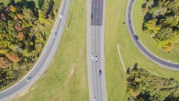
Researchers look at the largely suburban South Bay area of Los Angeles to offer ways to retrofit auto-oriented suburbs for more pedestrian travel.
"Researchers have spilled much ink debating the feasibility of alternatives to car travel, but have focused less on how suburbs built for the car might be transformed to accommodate other modes. Seven years ago, communities in the South Bay area of Los Angeles County decided to focus on this question. They found that walking is the gateway mode for alternative transportation," write an impressive array of authors, including Marlon G. Boarnet, Kenneth Joh, Walter Siembab, William Fulton, and Mai Thi Nguyen.
"While traditional urban design elements such as inwardly focused street geometry may encourage walking, our results suggest that a more critical factor is the concentration of business activity in a compact commercial center. The tricky part is that the business concentration needed to encourage walking appears to be larger than most neighborhood residential populations can support. Given that, suburban regions should focus both on fostering pedestrian centers and on knitting those centers together with transportation networks, though such networks need not accommodate only cars. We suggest both a land use approach and a mobility approach, and coordination between the two."
FULL STORY: Retrofitting the Suburbs to Increase Walking

Obesity Tied to Suburban Life
London-based study ties obesity to sprawl and finds that suburbs have a bigger obesity problem than rural areas.
Transit-Walkability Collaborative Established
The new Transit-Walkability Collaborative works to create safe, healthy, equitable, and sustainable communities by harnessing the synergy between walkability and quality public transit service.

City vs. Suburb Battle Reignites
There's a new volley in the long-running battle between cities and suburbs. In his new book "The Human City," urban scholar Joel Kotkin contends that cities and their planners have lost sight of the residents who matter most: families.

National Parks Layoffs Will Cause Communities to Lose Billions
Thousands of essential park workers were laid off this week, just before the busy spring break season.

Retro-silient?: America’s First “Eco-burb,” The Woodlands Turns 50
A master-planned community north of Houston offers lessons on green infrastructure and resilient design, but falls short of its founder’s lofty affordability and walkability goals.

Delivering for America Plan Will Downgrade Mail Service in at Least 49.5 Percent of Zip Codes
Republican and Democrat lawmakers criticize the plan for its disproportionate negative impact on rural communities.

Test News Post 1
This is a summary

Test News Headline 46
Test for the image on the front page.

Balancing Bombs and Butterflies: How the National Guard Protects a Rare Species
The National Guard at Fort Indiantown Gap uses GIS technology and land management strategies to balance military training with conservation efforts, ensuring the survival of the rare eastern regal fritillary butterfly.
Urban Design for Planners 1: Software Tools
This six-course series explores essential urban design concepts using open source software and equips planners with the tools they need to participate fully in the urban design process.
Planning for Universal Design
Learn the tools for implementing Universal Design in planning regulations.
EMC Planning Group, Inc.
Planetizen
Planetizen
Mpact (formerly Rail~Volution)
Great Falls Development Authority, Inc.
HUDs Office of Policy Development and Research
NYU Wagner Graduate School of Public Service