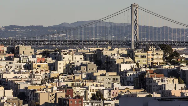
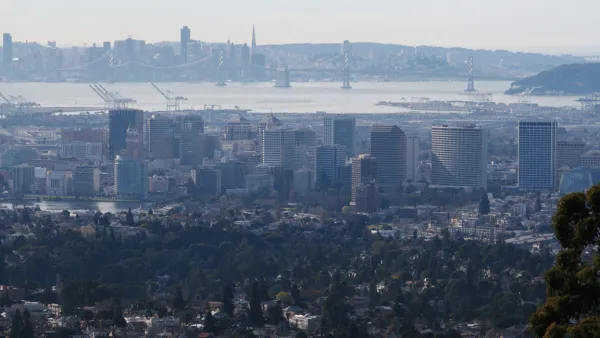
John King writes about an ambitious new regional plan for the Bay Area that looks to accommodate the 1.1 million new jobs and 2.1 million new residents expected by 2040, with relatively little suburban sprawl.
Plan Bay Area, which was presented last week to a joint meeting of the Metropolitan Transportation Commission and the Association of Bay Area Governments, has been a year in the making. Part of a state-mandated plan to cut greenhouse gas emissions, the plan "is the latest attempt to encourage local governments to accept higher-density growth as part of an effort to create communities where jobs, housing, shopping and recreational space all are within convenient reach," notes King.
Based on expected demographic trends and changes in tastes that will drive a market for urban living, the plan would focus development in the cities of San Francisco, Oakland and San Jose, and along such corridors as El Camino Real on the Peninsula and San Pablo Avenue from Oakland to Richmond.
The plan, however, is not without its detractors. "'Everything here is cookie-cutter,' said Richard Willis of Corte Madera, referring to the plan's enthusiasm for putting apartments and condominiums near transit. 'If you want to deny that this (Agenda 21) is the basis of your plan, you're in la-la land.'"
FULL STORY: Plan Bay Area envisions growth without sprawl

National Parks Layoffs Will Cause Communities to Lose Billions
Thousands of essential park workers were laid off this week, just before the busy spring break season.

Retro-silient?: America’s First “Eco-burb,” The Woodlands Turns 50
A master-planned community north of Houston offers lessons on green infrastructure and resilient design, but falls short of its founder’s lofty affordability and walkability goals.

Delivering for America Plan Will Downgrade Mail Service in at Least 49.5 Percent of Zip Codes
Republican and Democrat lawmakers criticize the plan for its disproportionate negative impact on rural communities.

Test News Post 1
This is a summary

Test News Headline 46
Test for the image on the front page.

Balancing Bombs and Butterflies: How the National Guard Protects a Rare Species
The National Guard at Fort Indiantown Gap uses GIS technology and land management strategies to balance military training with conservation efforts, ensuring the survival of the rare eastern regal fritillary butterfly.
Urban Design for Planners 1: Software Tools
This six-course series explores essential urban design concepts using open source software and equips planners with the tools they need to participate fully in the urban design process.
Planning for Universal Design
Learn the tools for implementing Universal Design in planning regulations.
EMC Planning Group, Inc.
Planetizen
Planetizen
Mpact (formerly Rail~Volution)
Great Falls Development Authority, Inc.
HUDs Office of Policy Development and Research
NYU Wagner Graduate School of Public Service


