


Tim De Chant compares satellite images of neighborhoods from cities around the world to see if inequality is manifest in the patterns of the landscape. The differences are striking.
Following up on an article he wrote last week about how urban trees-or the lack thereof-can reveal income inequality, De Chant compares satellite images from Google Earth that show two neighborhoods from a selection of cities around the world.
The disparities shown in cities as disparate as Rio de Janeiro, Oakland, and Beijing are astonishing.
FULL STORY: Income inequality, as seen from space


Urban Trees Have Bigger Impact in Hot, Dry Cities
The cooling effect of robust urban tree canopies is more pronounced in hotter, drier cities like Phoenix and Las Vegas.
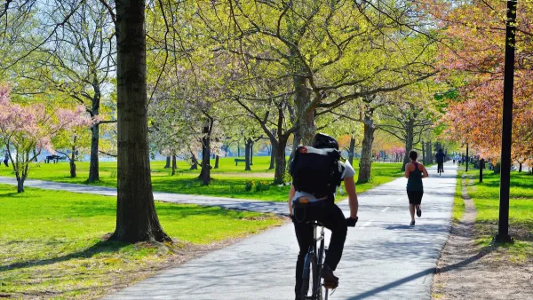
Urban Trees Are Vital in an Era of Extreme Heat
Urban trees are essential for cooling public spaces, promoting physical activity, and protecting vulnerable populations from extreme heat.
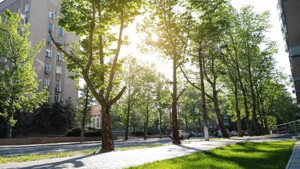
The Economic Value of Street Trees
Far from just providing shade and improving air quality, trees can also contribute to more resilient roads, lower energy costs, and reduced flood risk.

Analysis: Cybertruck Fatality Rate Far Exceeds That of Ford Pinto
The Tesla Cybertruck was recalled seven times last year.

National Parks Layoffs Will Cause Communities to Lose Billions
Thousands of essential park workers were laid off this week, just before the busy spring break season.

Retro-silient?: America’s First “Eco-burb,” The Woodlands Turns 50
A master-planned community north of Houston offers lessons on green infrastructure and resilient design, but falls short of its founder’s lofty affordability and walkability goals.

Test News Post 1
This is a summary

Analysis: Cybertruck Fatality Rate Far Exceeds That of Ford Pinto
The Tesla Cybertruck was recalled seven times last year.

Test News Headline 46
Test for the image on the front page.
Urban Design for Planners 1: Software Tools
This six-course series explores essential urban design concepts using open source software and equips planners with the tools they need to participate fully in the urban design process.
Planning for Universal Design
Learn the tools for implementing Universal Design in planning regulations.
EMC Planning Group, Inc.
Planetizen
Planetizen
Mpact (formerly Rail~Volution)
Great Falls Development Authority, Inc.
HUDs Office of Policy Development and Research
NYU Wagner Graduate School of Public Service