


It used to be that visibility was the most important factor in siting a business. This may no longer be the case, argues Kevin Klinkenberg, as smartphones make location irrelevant.
It used to be that visibility, whether along a commercial strip to be seen from a car, or on main street to be seen by a pedestrian, was one of the precious rules of retailing, and, as a result, was one of the main components that determined the value of real estate.
However, according to Klinkenberg, "That world that we've all become familiar with in planning and development appears to be on the verge of turning upside-down. In the new world of commerce, every business drives people to their stores with Facebook pages, reviews on Yelp and Urbanspoon, and specials via Twitter. A plethora of smart phone apps can easily lead you to any category of business. Food trucks in many cities even change their locations daily, and tweet them to their thousands of followers."
"I no longer need to walk or drive by a business to know it's there – I simply need to access its location on my phone, and follow the GPS-enabled map to get there."
"How," Klinkenberg asks, "will this technological change impact how we use our cities and towns, and how real estate is valued?"
FULL STORY: Will SmartPhones make location irrelevant?

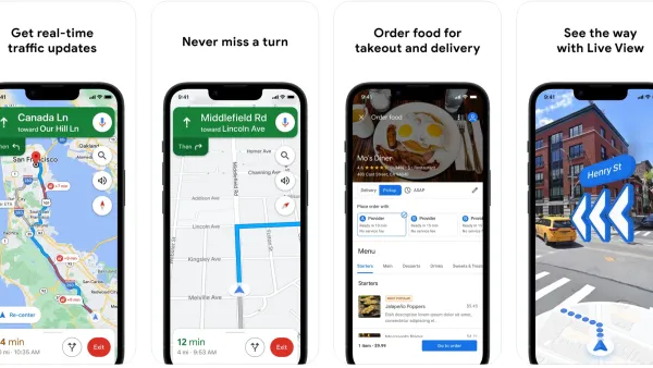
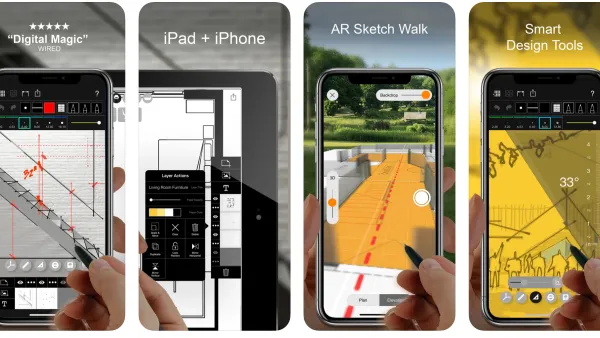
Recommended Mobile Apps for Urban Planning in 2023
Planetizen's annual list of top apps for planners is back, ten years after its first appearance on the site. Scores of apps have been recommended by planners as examples of planning in action, or tools for planning action.
Best Apps for Urban Planning in 2022
Mobile apps continue to redefine the practices of planning—urban planning, regional planning, transportation planning, community planning, and rural planning included.
Against Victim Blaming
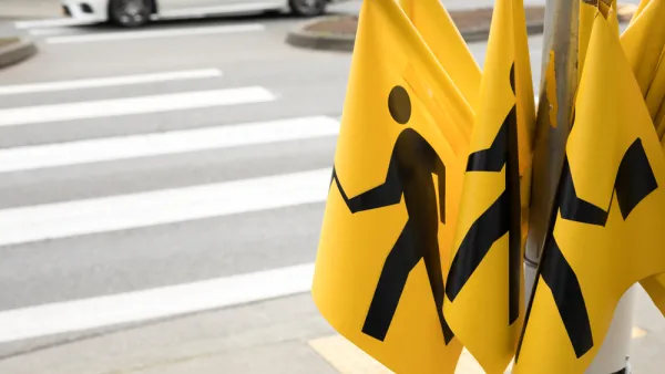
One common scapegoat for rising pedestrian death rates is "distracted walking." But there is little reason to believe that smartphone-wielding pedestrians are a major cause of roadway carnage.

National Parks Layoffs Will Cause Communities to Lose Billions
Thousands of essential park workers were laid off this week, just before the busy spring break season.

Retro-silient?: America’s First “Eco-burb,” The Woodlands Turns 50
A master-planned community north of Houston offers lessons on green infrastructure and resilient design, but falls short of its founder’s lofty affordability and walkability goals.

Delivering for America Plan Will Downgrade Mail Service in at Least 49.5 Percent of Zip Codes
Republican and Democrat lawmakers criticize the plan for its disproportionate negative impact on rural communities.

Test News Post 1
This is a summary

Test News Headline 46
Test for the image on the front page.

Balancing Bombs and Butterflies: How the National Guard Protects a Rare Species
The National Guard at Fort Indiantown Gap uses GIS technology and land management strategies to balance military training with conservation efforts, ensuring the survival of the rare eastern regal fritillary butterfly.
Urban Design for Planners 1: Software Tools
This six-course series explores essential urban design concepts using open source software and equips planners with the tools they need to participate fully in the urban design process.
Planning for Universal Design
Learn the tools for implementing Universal Design in planning regulations.
EMC Planning Group, Inc.
Planetizen
Planetizen
Mpact (formerly Rail~Volution)
Great Falls Development Authority, Inc.
HUDs Office of Policy Development and Research
NYU Wagner Graduate School of Public Service