


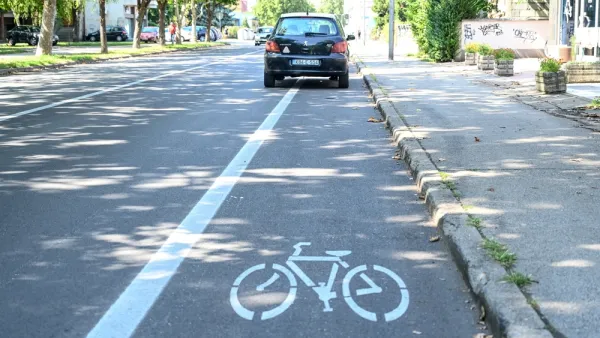
Zak Stone spotlights a new app being tested in Germany that can predict and prevent traffic jams, and promises to reduce CO2 emissions in the process.
The new app for Windows Phones, called Greenway,
works by plugging "its users' locations,
destinations, and speeds into an algorithm to figure out where and when
traffic jams are likely to occur. Then, it provides a route to steer
cars away from those roads. The route is called, appopriately [sic], the
"Greenway," and it's optimized for traffic, time, and the amount of gas
used based on data about where other drivers are headed at the same
time."
According to Stone, "One of the more interesting parts of the app is the business model. The
app is free to use, but users who select the Greenway route will pay a
small fee for the insider information: five percent of the cost of fuel
they'll save by taking the Greenway, but never more than 30 cents per
route. If it takes users longer than it should to get to their
desintation [sic], the information is on the house."
There is one catch, however: "The founders estimate that for the app to truly be effective, they'd
need to get at least 10 percent of a city's drivers on board."
FULL STORY: An App that Sees and Prevents Future Traffic Jams

New App Pays Users to Report Illegally Parked Cars
A Swedish company is leveraging the power of crowdsourcing and the gig economy to enforce parking laws.
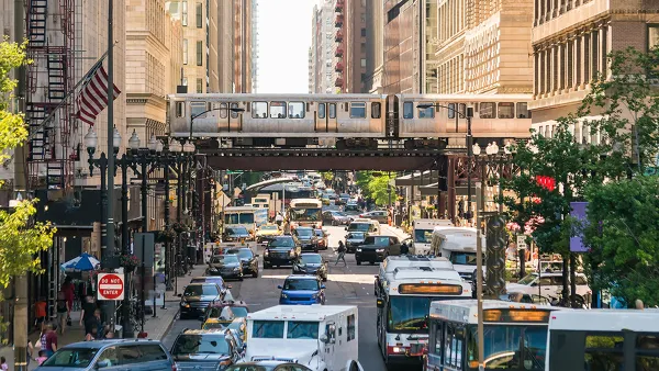
Planning for Congestion Relief
The third and final installment of Planetizen's examination of the role of the planning profession in both perpetuating and solving traffic congestion.
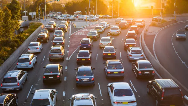
How Planning Fails to Solve Congestion
Solutions for congestion are never as simple and easy as armchair planners and engineers would like you to believe—especially those who suggest that congestion can be solved by forever building more roadway capacity.

National Parks Layoffs Will Cause Communities to Lose Billions
Thousands of essential park workers were laid off this week, just before the busy spring break season.

Retro-silient?: America’s First “Eco-burb,” The Woodlands Turns 50
A master-planned community north of Houston offers lessons on green infrastructure and resilient design, but falls short of its founder’s lofty affordability and walkability goals.

Delivering for America Plan Will Downgrade Mail Service in at Least 49.5 Percent of Zip Codes
Republican and Democrat lawmakers criticize the plan for its disproportionate negative impact on rural communities.

Test News Post 1
This is a summary

Test News Headline 46
Test for the image on the front page.

Balancing Bombs and Butterflies: How the National Guard Protects a Rare Species
The National Guard at Fort Indiantown Gap uses GIS technology and land management strategies to balance military training with conservation efforts, ensuring the survival of the rare eastern regal fritillary butterfly.
Urban Design for Planners 1: Software Tools
This six-course series explores essential urban design concepts using open source software and equips planners with the tools they need to participate fully in the urban design process.
Planning for Universal Design
Learn the tools for implementing Universal Design in planning regulations.
EMC Planning Group, Inc.
Planetizen
Planetizen
Mpact (formerly Rail~Volution)
Great Falls Development Authority, Inc.
HUDs Office of Policy Development and Research
NYU Wagner Graduate School of Public Service