


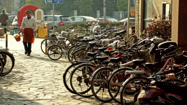
Ever get frustrated looking for the right aerial image of your project site on Google Earth? Emily Badger has found the solution - a DIY balloon mapping kit developed by cartographer Stewart Long.
As Badger reports, the $95 DIY balloon mapping kit sold by the Public Laboratory for Open Technology and Science, has several advantages over the typical aerial image found on Google Maps or Google Earth. For one, you can capture images at higher resolution. "At this distance," says Badger, "you can get down to the centimeter, enough to capture the dotted lines on a road, or the tiles on a roof." You can also update images as necessary to document changing conditions.
"The whole idea is an ingenious mix of high and low tech, of rubber bands
and helium and open-source software (Public Labs also has a platform
called MapKnitter that will help
you stitch the images together into one big mosaic). But aside from its
basic techie appeal, this tool is trying to take map-making – for
centuries the province of people who are in charge – and give the rest
of us that power, too."
FULL STORY: The Future of Aerial Mapmaking: Cheap Helium Balloons

Friday Eye Candy: 195 Gigapixels of Urban Glory
An incredibly detailed bird's eye view of Shanghai.

New Research Methods Help Nebraska's Water Management Plan
Researchers at the University of Nebraska have been working with the Nebraska Department of Natural Resources to develop best practices for predicting and planning for the future water needs of urban developments.
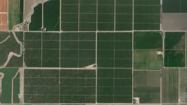
Friday Eye Candy: Where U.S. Roads Correct the Grid
Anyone who has traveled long country roads is familiar with the moment when a road makes a sharp turn to deviate from a direct path. Such "grid corrections" provide the subject for a photography project by Gerco de Ruijter.

Analysis: Cybertruck Fatality Rate Far Exceeds That of Ford Pinto
The Tesla Cybertruck was recalled seven times last year.

National Parks Layoffs Will Cause Communities to Lose Billions
Thousands of essential park workers were laid off this week, just before the busy spring break season.

Retro-silient?: America’s First “Eco-burb,” The Woodlands Turns 50
A master-planned community north of Houston offers lessons on green infrastructure and resilient design, but falls short of its founder’s lofty affordability and walkability goals.

Test News Post 1
This is a summary

Analysis: Cybertruck Fatality Rate Far Exceeds That of Ford Pinto
The Tesla Cybertruck was recalled seven times last year.

Test News Headline 46
Test for the image on the front page.
Urban Design for Planners 1: Software Tools
This six-course series explores essential urban design concepts using open source software and equips planners with the tools they need to participate fully in the urban design process.
Planning for Universal Design
Learn the tools for implementing Universal Design in planning regulations.
EMC Planning Group, Inc.
Planetizen
Planetizen
Mpact (formerly Rail~Volution)
Great Falls Development Authority, Inc.
HUDs Office of Policy Development and Research
NYU Wagner Graduate School of Public Service