


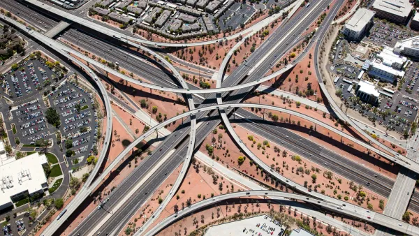
The State of New Hampshire has created an interactive online tool for its municipalities to examine the impacts of different land use scenarios, in the hopes of promoting smart growth. Geneva Faulkner describes how it works.
Created by RKG Associates, Placeways, and Urban Interactive Studio, under the auspices of the New Hampshire Office of Energy and Planning (NHOEP), the New Hampshire Cost of Sprawl Impact Model was developed to assist the state's planners, elected officials, and interested community members in understanding the fiscal impacts of land use decisions.
Users are able to analyze different types and scales of development for specific parcels in one of the state's 239 municipalities. Based on those selections, the tool produces information on expected "population and housing impact,
municipal fiscal cost, the percentages of land developed, and the
infrastructure needed for that particular scenario," writes Faulkner.
"Instead of having to perform calculations to determine floor area
ratios, the additional miles of road that would need to be built,
population growth and infrastructure, as well as other time-consuming
models, the Cost of Sprawl tool performs complex calculations
instantaneously, therefore allowing planners to spend less time
analyzing one particular scenario and more time understanding the
impacts of a variety of scenarios."
FULL STORY: Online Tool Helps New Hampshire Municipalities Examine the Cost of Sprawl

The Economic Defense of Sprawl (And What's Wrong With It)
Defenders of suburban expansion argue that government should build more roads in order to open up more land for housing. What's wrong with that argument?
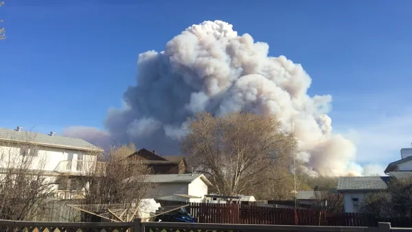
What Goes Together? Sprawl and Destructive Wildfires
Wildfires tend to start at the Wildland-Urban Interface: those border zones between cities and the open land surrounding them. Keeping the lid on sprawl, it can be argued, would tame the inferno.

American Suburbia Transplanted to Beijing
Chinese and Indian cities have been quick to welcome housing developments modeled on North American suburbs, including "Orange County" and "Vancouver Forest" in Beijing. This globalized sprawl perpetuates all the ills of our own.

Analysis: Cybertruck Fatality Rate Far Exceeds That of Ford Pinto
The Tesla Cybertruck was recalled seven times last year.

National Parks Layoffs Will Cause Communities to Lose Billions
Thousands of essential park workers were laid off this week, just before the busy spring break season.

Retro-silient?: America’s First “Eco-burb,” The Woodlands Turns 50
A master-planned community north of Houston offers lessons on green infrastructure and resilient design, but falls short of its founder’s lofty affordability and walkability goals.

Test News Post 1
This is a summary

Analysis: Cybertruck Fatality Rate Far Exceeds That of Ford Pinto
The Tesla Cybertruck was recalled seven times last year.

Test News Headline 46
Test for the image on the front page.
Urban Design for Planners 1: Software Tools
This six-course series explores essential urban design concepts using open source software and equips planners with the tools they need to participate fully in the urban design process.
Planning for Universal Design
Learn the tools for implementing Universal Design in planning regulations.
EMC Planning Group, Inc.
Planetizen
Planetizen
Mpact (formerly Rail~Volution)
Great Falls Development Authority, Inc.
HUDs Office of Policy Development and Research
NYU Wagner Graduate School of Public Service