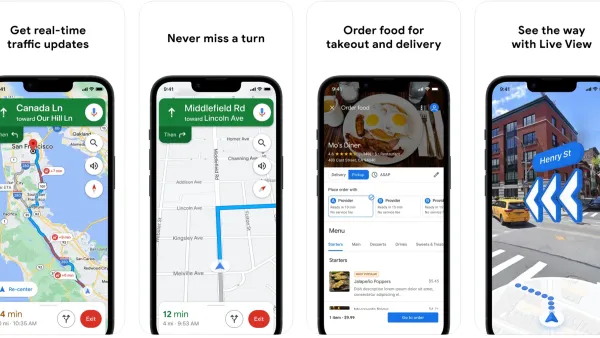
With three-quarters of smartphone owners accessing real-time location-based information, the biggest names in technology - from Apple to Google - are working to mine the value of location-based data. Can local governments do the same?
Adapting the findings of a recent study produced by Deloitte GovLab study, Joe Leinbach, Anesa Diaz-Uda, and William D. Eggers discuss the potential for location-based data to improve the ways governments interact with, and deliver services to, their constituents.
"Governments at every level stand to benefit from the convergence of
geospatial technologies and location-based services," say the authors. "For agency
executives, capturing data from social media and location-based
applications offers a more detailed and nuanced dataset than traditional
GIS and demographic data, leading to better policymaking and program
delivery. At the same time, the more data agencies collect, the better
and more contextually aware location-based services become for citizens
and employees. The result? Better communication, more efficient
allocation of public resources and the ability to rethink the way public
services are delivered."
FULL STORY: 'Where' Matters: Shaping Public Services for the Mobile Citizen

National Parks Layoffs Will Cause Communities to Lose Billions
Thousands of essential park workers were laid off this week, just before the busy spring break season.

Retro-silient?: America’s First “Eco-burb,” The Woodlands Turns 50
A master-planned community north of Houston offers lessons on green infrastructure and resilient design, but falls short of its founder’s lofty affordability and walkability goals.

Delivering for America Plan Will Downgrade Mail Service in at Least 49.5 Percent of Zip Codes
Republican and Democrat lawmakers criticize the plan for its disproportionate negative impact on rural communities.

Test News Post 1
This is a summary

Test News Headline 46
Test for the image on the front page.

Balancing Bombs and Butterflies: How the National Guard Protects a Rare Species
The National Guard at Fort Indiantown Gap uses GIS technology and land management strategies to balance military training with conservation efforts, ensuring the survival of the rare eastern regal fritillary butterfly.
Urban Design for Planners 1: Software Tools
This six-course series explores essential urban design concepts using open source software and equips planners with the tools they need to participate fully in the urban design process.
Planning for Universal Design
Learn the tools for implementing Universal Design in planning regulations.
EMC Planning Group, Inc.
Planetizen
Planetizen
Mpact (formerly Rail~Volution)
Great Falls Development Authority, Inc.
HUDs Office of Policy Development and Research
NYU Wagner Graduate School of Public Service


