


A free digital toolkit allowing communities to collect, analyze, and share their own data will be launched nationally at the end of the year.
"LocalData," writes Kelsey Campbell-Dollaghan, "disrupts convention by putting expert tools in the hands of communities, letting everyone get their hands (digitally) dirty with an easy-to-understand interface." Developed by 2012 Code for America fellows Alicia Rouault, Matt Hampel, and Prashant Singh, the app is "poised to revolutionize how communities collect and leverage data."
"All across the nation, community groups are out in their neighborhoods, collecting information about where they live," says Rouault. "But they're doing it in a cumbersome way." Campbell-Dollaghan explains, "Typically, this process is divided between on-the-ground volunteers who collect the data, and urban planners who glean meaning from it." LocalData helps communities analyze and visualize the data they collect without professional assistance.
The app, which has been field-tested by local advocates in Detroit, works by allowing a community to easily create a survey and record results on their smartphones. The collected information is automatically visualized, mapped, and made downloadable for further analysis. Campbell Dollaghan notes, "With the free toolkit, the people who are culling the data--who arguably know the most about the issues at hand--can crunch it, too."
The national launch of LocalData is slated for the end of the year, and the developers intend for the app to remain free. "We tried to make it [LocalData] as inclusive as possible," Rouault adds. "We're really proud of that thinking."
FULL STORY: LocalData, An App That Helps Communities Do Their Own Urban Planning


Former Transportation Secretary Joins Lyft, Explains Why
Anthony Foxx, former Secretary of Transportation under President Obama, has accepted a job at Lyft. In a post, he discusses why.
The Best Planning Apps for 2017
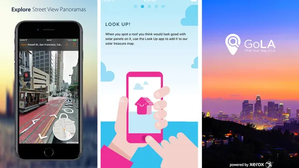
A list of mobile apps that support planning, as part of an annual update. Learn about exciting new ways to explore cities and enhance planning via mobile apps. Please feel free to add your own favorites.

Get Around Chicago Like an Insider with 20 Apps
These 20 apps and services will help you engage with everything Chicago has to offer in a whole new way.

National Parks Layoffs Will Cause Communities to Lose Billions
Thousands of essential park workers were laid off this week, just before the busy spring break season.

Retro-silient?: America’s First “Eco-burb,” The Woodlands Turns 50
A master-planned community north of Houston offers lessons on green infrastructure and resilient design, but falls short of its founder’s lofty affordability and walkability goals.

Delivering for America Plan Will Downgrade Mail Service in at Least 49.5 Percent of Zip Codes
Republican and Democrat lawmakers criticize the plan for its disproportionate negative impact on rural communities.

Test News Post 1
This is a summary

Test News Headline 46
Test for the image on the front page.

Balancing Bombs and Butterflies: How the National Guard Protects a Rare Species
The National Guard at Fort Indiantown Gap uses GIS technology and land management strategies to balance military training with conservation efforts, ensuring the survival of the rare eastern regal fritillary butterfly.
Urban Design for Planners 1: Software Tools
This six-course series explores essential urban design concepts using open source software and equips planners with the tools they need to participate fully in the urban design process.
Planning for Universal Design
Learn the tools for implementing Universal Design in planning regulations.
EMC Planning Group, Inc.
Planetizen
Planetizen
Mpact (formerly Rail~Volution)
Great Falls Development Authority, Inc.
HUDs Office of Policy Development and Research
NYU Wagner Graduate School of Public Service