


Project to map corporate shuttle routes of Silicon Valley giants such as Apple, Google, & Facebook, outlines the forces behind gentrification in San Francisco and reveals a startling pattern of reverse sprawl.
Researchers map the not-so-secret routes of corporate shuttles transporting tech workers from San Francisco to Silicon Valley.
"Whichever side of this issue you’re on, it’s clear that we’re looking at a reversal of the historical norm: The workers that used to live in residential suburbs while commuting to work in the city are now living in the city, while the largest technology companies are based in the suburbs and increasingly draw their labor supply from dense urban neighborhoods."
"...conventional wisdom has it that the routes are a way for companies to respond to the desires of young, hip urbanites who want to experience the frisson of urban life in between their shifts down to soulless suburbia." But tech companies do not have room to build more parking lots so they are using private shuttles for commuting employees.
"For better or worse, we’re looking at a situation where private networks start to supplant public infrastructure."
FULL STORY: Mapping Silicon Valley’s Gentrification Problem Through Corporate Shuttle Routes

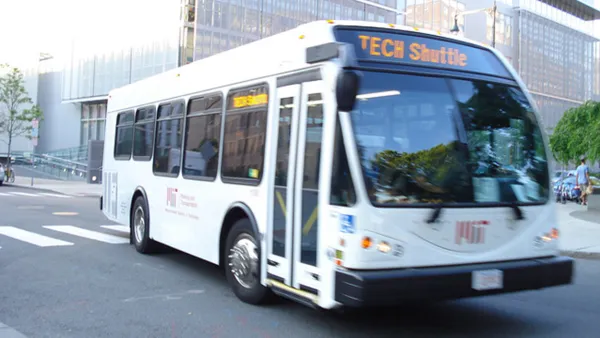
Tech Shuttles: The Bay Area's Seventh Largest Transportation Provider
A new survey has found that every day more than 800 tech buses are traveling on the region's roadways, carrying around 34,000 passengers daily
Why Big Tech Billions Won't Dent California's Housing Crisis
New multibillion-dollar affordable housing commitments from leading tech firms may build out thousands of units, but that's nothing next to California's gargantuan housing shortage.
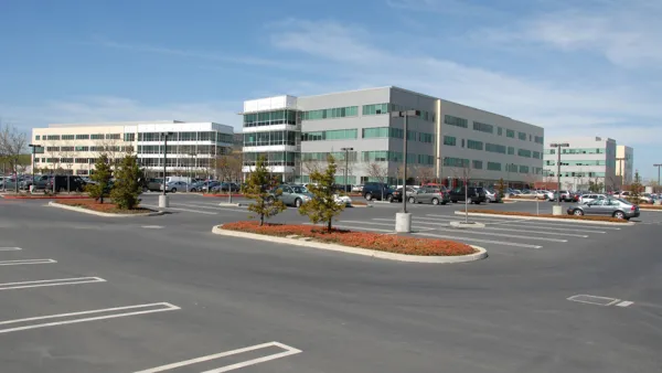
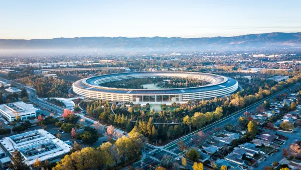
How Office Parks and Corporate Campuses Evolved
The office park has become a suburban given, disliked by some, but once it represented a utopian vision of work away from the city. Here's a look at how the Silicon Valley model developed, and where it might be going.

National Parks Layoffs Will Cause Communities to Lose Billions
Thousands of essential park workers were laid off this week, just before the busy spring break season.

Retro-silient?: America’s First “Eco-burb,” The Woodlands Turns 50
A master-planned community north of Houston offers lessons on green infrastructure and resilient design, but falls short of its founder’s lofty affordability and walkability goals.

Delivering for America Plan Will Downgrade Mail Service in at Least 49.5 Percent of Zip Codes
Republican and Democrat lawmakers criticize the plan for its disproportionate negative impact on rural communities.

Test News Post 1
This is a summary

Test News Headline 46
Test for the image on the front page.

Balancing Bombs and Butterflies: How the National Guard Protects a Rare Species
The National Guard at Fort Indiantown Gap uses GIS technology and land management strategies to balance military training with conservation efforts, ensuring the survival of the rare eastern regal fritillary butterfly.
Urban Design for Planners 1: Software Tools
This six-course series explores essential urban design concepts using open source software and equips planners with the tools they need to participate fully in the urban design process.
Planning for Universal Design
Learn the tools for implementing Universal Design in planning regulations.
EMC Planning Group, Inc.
Planetizen
Planetizen
Mpact (formerly Rail~Volution)
Great Falls Development Authority, Inc.
HUDs Office of Policy Development and Research
NYU Wagner Graduate School of Public Service