


A new scatterplot mapping population density against political-party preference delivers old news: urban areas tend to lean Democratic, while rural places go Republican.
The chart, created by Conor Sen using the Cook Partisan Voting Index and census data, confirms what other analysts have already observed. That is: not only do the two ends of the density spectrum gravitate toward opposing political parties, but there seems to be a consistent tipping point. Around 800 to 1,000 people per square mile, party preference switches.
Whether the apparent trend represents a solid link between population density and party affiliation remains to be seen, Emily Badger writes. Until then, the possibility that our proximity to others might directly influence our political leaning is intriguing.
FULL STORY: 'If You Live Near Other People, You're Probably a Democrat. If Your Neighbors Are Distant, Republican.'

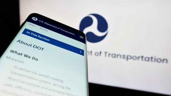
DOT Memo Directs Transportation Funding to Communities With Higher Marriage and Birth Rates, Compliance with Immigration Officials and No Mask Mandates
The memo ties immigration enforcement to federal funding and prohibits mask or vaccine mandates.

Red Cities, Blue Cities, and Crime
Homicides rose across the nation in 2020 and 2021 but began to ebb in 2022 and 2023. Have these trends played out equally across all cities, or were they worse in cities controlled by one political party or the other?

Los Angeles Mayor Blames COVID Outbreak on Density
Appearing on a Sunday news show, Mayor Eric Garcetti noted that the Los Angeles metropolitan region is the nation's densest and one of two primary reasons why "we're seeing a person every six seconds contract COVID-19 here in Los Angeles County."

National Parks Layoffs Will Cause Communities to Lose Billions
Thousands of essential park workers were laid off this week, just before the busy spring break season.

Retro-silient?: America’s First “Eco-burb,” The Woodlands Turns 50
A master-planned community north of Houston offers lessons on green infrastructure and resilient design, but falls short of its founder’s lofty affordability and walkability goals.

Delivering for America Plan Will Downgrade Mail Service in at Least 49.5 Percent of Zip Codes
Republican and Democrat lawmakers criticize the plan for its disproportionate negative impact on rural communities.

Test News Post 1
This is a summary

Test News Headline 46
Test for the image on the front page.

Balancing Bombs and Butterflies: How the National Guard Protects a Rare Species
The National Guard at Fort Indiantown Gap uses GIS technology and land management strategies to balance military training with conservation efforts, ensuring the survival of the rare eastern regal fritillary butterfly.
Urban Design for Planners 1: Software Tools
This six-course series explores essential urban design concepts using open source software and equips planners with the tools they need to participate fully in the urban design process.
Planning for Universal Design
Learn the tools for implementing Universal Design in planning regulations.
EMC Planning Group, Inc.
Planetizen
Planetizen
Mpact (formerly Rail~Volution)
Great Falls Development Authority, Inc.
HUDs Office of Policy Development and Research
NYU Wagner Graduate School of Public Service