


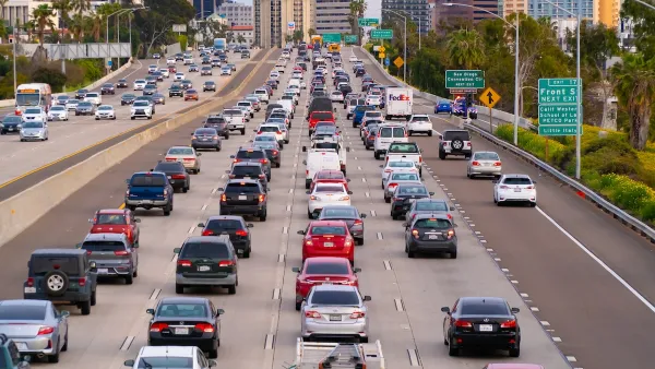
Analysis of the USDA’s 2010 National Resources Inventory, which tracks land use, shows the growth rate of suburban sprawl peaking in the mid-1990s, declining by two-thirds since then, even through the most recent housing boom. How did that happen?
Payton Chung provides new analysis of the USDA’s 2010 National Resources Inventory that shows sprawl beginning to slow in the mid-1990s and continuing to slow ever since. The findings don't indicate that sprawl is over, just that it's not expanding as quickly as it did in the past. The "inflection point," or the moment the rate of sprawl began to decrease, occurred perhaps earlier than many realized. As pointed out by Chung, peak sprawl also "predated 'peak car' by 10-15 years."
As for why peak sprawl occurred in the 1990s, Chung speculates: "the 1980s cessation of massive freeway construction may have pushed many metro areas into some version of Marchetti's Wall: the theory that people don't want to travel more than one hour a day, and thus that metropolitan growth has geometric limits tied to how far the predominant mode of travel goes."
Chung also notes that some of the consequences of sprawl, like Vehicle Miles Traveled, will be impacted by the slowing rate of outward growth. "A majority of the VMT benefits from more-central locations come from the fact that destinations are closer and car trips are shorter; only a minority of the benefits come from a switch to other modes. As growth recentralizes, perhaps VMT can be expected to decline further."
FULL STORY: As it turns out, suburban sprawl actually peaked 20 years ago

Opinion: Why Linking Driving to GDP Misses the Point
The argument that car-centric development is good because it boosts national GDP ignores the massive costs of driving to everyday Americans.
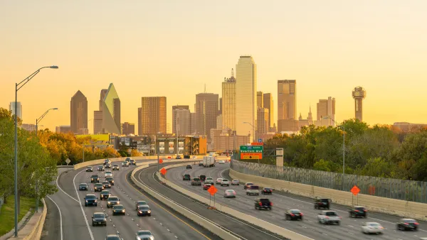
How to Reduce Excess Vehicle Travel
Some experts claim that remote work is the most effective way to reduce vehicle travel, but my research indicates that improving and encouraging walking, bicycling, and public transit can provide larger impacts and benefits.
Connecting Land Use and Transportation Planning to Save the Climate
The United States will have to make major changes to long-standing land use and transportation paradigms to prevent the worst outcomes of climate change. How to make those changes was the subject of a recent podcast.

National Parks Layoffs Will Cause Communities to Lose Billions
Thousands of essential park workers were laid off this week, just before the busy spring break season.

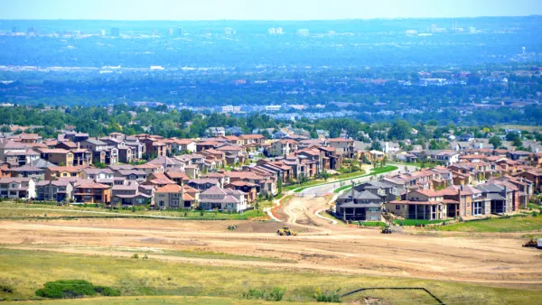
Retro-silient?: America’s First “Eco-burb,” The Woodlands Turns 50
A master-planned community north of Houston offers lessons on green infrastructure and resilient design, but falls short of its founder’s lofty affordability and walkability goals.

Delivering for America Plan Will Downgrade Mail Service in at Least 49.5 Percent of Zip Codes
Republican and Democrat lawmakers criticize the plan for its disproportionate negative impact on rural communities.

Test News Post 1
This is a summary

Test News Headline 46
Test for the image on the front page.

Balancing Bombs and Butterflies: How the National Guard Protects a Rare Species
The National Guard at Fort Indiantown Gap uses GIS technology and land management strategies to balance military training with conservation efforts, ensuring the survival of the rare eastern regal fritillary butterfly.
Urban Design for Planners 1: Software Tools
This six-course series explores essential urban design concepts using open source software and equips planners with the tools they need to participate fully in the urban design process.
Planning for Universal Design
Learn the tools for implementing Universal Design in planning regulations.
EMC Planning Group, Inc.
Planetizen
Planetizen
Mpact (formerly Rail~Volution)
Great Falls Development Authority, Inc.
HUDs Office of Policy Development and Research
NYU Wagner Graduate School of Public Service