


A new Complete Streets Design Manual is under consideration in Dallas City Hall, but according to a recent article explaining Dallas' move toward walkable neighborhoods, the city has some work to do before the idea fully takes hold.
David Flick explains some of the concepts behind walkable neighborhoods, as well as some of the cultural changes that will be necessary in selling the idea as Dallas city officials consider a new Complete Streets Design manual.
Some residents have already bought into the idea: “A telephone survey for the Complete Streets Design manual…found that 68 percent of residents believe being able to walk or bike to destinations would be good for the local economy,” writes Flick.
Flick also goes into some details about the features of the streetscape in the neighborhood of West Village, which is described as the city’s “most promising pedestrian neighborhood.” The article also includes an interactive map of neighborhoods throughout Dallas described in terms of walkability by local planners.
To those familiar with walkability and complete streets design, the article can be read as a first, early attempt at explaining some of these concepts in a major media publication. Do you think the article gets it right?
FULL STORY: Dallas following national trend toward walkable neighborhoods

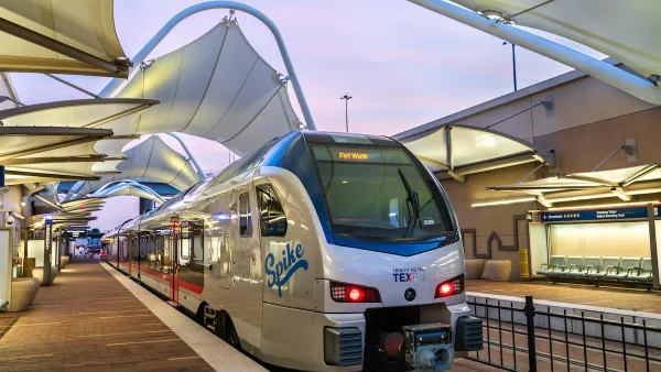
North Texas Transportation Council Advocates for Road Safety, Rail Projects
The North Texas Regional Transportation Council issued a series of recommendations for state legislators that include more support for road safety projects and high-speed rail.

Dallas Considers Nixing Parking Requirements
According to one local official, Dallas projects routinely build 20 to 30 percent more parking than they need, driving up the cost of housing and leading to unsustainable land use patterns.
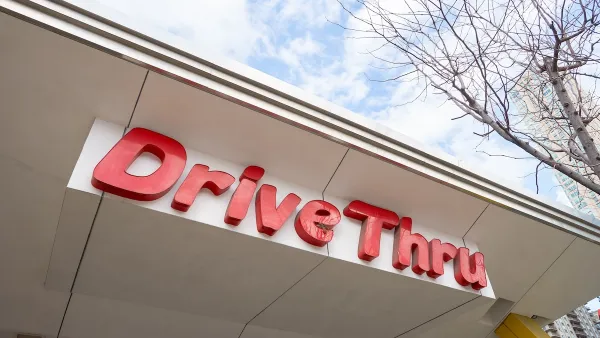
Dallas Extends Permit for Downtown Drive-Thru
The city has indicated this is the last time it will extend a permit for a drive-thru at a McDonald’s restaurant as it transitions to supporting a denser, more walkable downtown environment.

National Parks Layoffs Will Cause Communities to Lose Billions
Thousands of essential park workers were laid off this week, just before the busy spring break season.

Retro-silient?: America’s First “Eco-burb,” The Woodlands Turns 50
A master-planned community north of Houston offers lessons on green infrastructure and resilient design, but falls short of its founder’s lofty affordability and walkability goals.

Delivering for America Plan Will Downgrade Mail Service in at Least 49.5 Percent of Zip Codes
Republican and Democrat lawmakers criticize the plan for its disproportionate negative impact on rural communities.

Test News Post 1
This is a summary

Test News Headline 46
Test for the image on the front page.

Balancing Bombs and Butterflies: How the National Guard Protects a Rare Species
The National Guard at Fort Indiantown Gap uses GIS technology and land management strategies to balance military training with conservation efforts, ensuring the survival of the rare eastern regal fritillary butterfly.
Urban Design for Planners 1: Software Tools
This six-course series explores essential urban design concepts using open source software and equips planners with the tools they need to participate fully in the urban design process.
Planning for Universal Design
Learn the tools for implementing Universal Design in planning regulations.
EMC Planning Group, Inc.
Planetizen
Planetizen
Mpact (formerly Rail~Volution)
Great Falls Development Authority, Inc.
HUDs Office of Policy Development and Research
NYU Wagner Graduate School of Public Service