


“A City of Neighborhoods,” a new exhibit at the Boston Public Library, uses maps to illustrate how waves of immigration shaped the city and its neighborhoods throughout the 20th century.
Greg Miller provides a preview of a new exhibition at the Boston Public Library called “A City of Neighborhoods.” “The idea is to look at Boston as a whole, but then to zero in on certain neighborhoods and see what those stories are,” says Michelle LeBlanc, director of education at the library’s Norman B. Leventhal Map Center, when quoted in the article.
Immigration has driven many of Boston’s population trends in the past century. Here Miller describes some of the population changes, and how some Boston neighborhoods remain diverse: “The percentage of foreign-born residents is lower than it used to be: 27 percent, compared to 36 percent in 1910. But some neighborhoods are still remarkably diverse. East Boston’s population is almost 50 percent foreign born, the highest percentage of any neighborhood in the city.”
As for an example of a neighborhood that has experienced immigration-driven changes: “The exhibit includes a brochure from 1910 advertising a new planned neighborhood, ‘Orient Heights,’ built on landfill [an] area of East Boston that was once covered by marshland. ‘They were trying to entice immigrant families from the slums of the West End and North End because there’s open space and fresh air and all that,’ LeBlanc said. Contrary to the development’s name, LeBlanc says the biggest immigrant groups at that time were Italians and Eastern European Jews. Today the biggest immigrant groups in the neighborhood are from El Salvador and Columbia.”
The exhibition stays away, however, from the touchy political subject of gentrification.
FULL STORY: Maps Reveal How Immigration Transformed Boston’s Neighborhoods

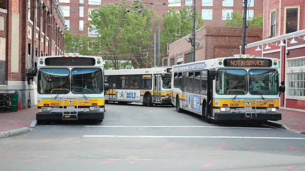
Boston Bus Signal Priority Project Yields Faster Travel Times
The city now plans to expand a year-long pilot project that reduced the time buses waited at traffic signals.

DOT Memo Directs Transportation Funding to Communities With Higher Marriage and Birth Rates, Compliance with Immigration Officials and No Mask Mandates
The memo ties immigration enforcement to federal funding and prohibits mask or vaccine mandates.
How Might Tariffs and Deportations Affect Affordable Housing Development?
Many affordable housing developers worry Trump’s proposed taxes on imports and crackdown on immigration will be detrimental to the industry. Others hope deregulation reduces development costs enough to offset those effects. What’s the most likely outcome?

Analysis: Cybertruck Fatality Rate Far Exceeds That of Ford Pinto
The Tesla Cybertruck was recalled seven times last year.

National Parks Layoffs Will Cause Communities to Lose Billions
Thousands of essential park workers were laid off this week, just before the busy spring break season.

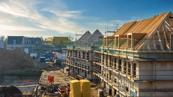
Retro-silient?: America’s First “Eco-burb,” The Woodlands Turns 50
A master-planned community north of Houston offers lessons on green infrastructure and resilient design, but falls short of its founder’s lofty affordability and walkability goals.

Test News Post 1
This is a summary

Analysis: Cybertruck Fatality Rate Far Exceeds That of Ford Pinto
The Tesla Cybertruck was recalled seven times last year.

Test News Headline 46
Test for the image on the front page.
Urban Design for Planners 1: Software Tools
This six-course series explores essential urban design concepts using open source software and equips planners with the tools they need to participate fully in the urban design process.
Planning for Universal Design
Learn the tools for implementing Universal Design in planning regulations.
EMC Planning Group, Inc.
Planetizen
Planetizen
Mpact (formerly Rail~Volution)
Great Falls Development Authority, Inc.
HUDs Office of Policy Development and Research
NYU Wagner Graduate School of Public Service