


Eric Jaffe reports on a simulation method used by the Regional Plan Association to bridge gaps in community engagement while developing the Fourth Regional Plan.
"RPA has created 10 profiles meant to represent — in a statistically true sense — the people who live in the region. The personas will serve as a sort of fictional oversight panel tasked with holding the [Regional Plan Association's Fourth Regional Plan] accountable to its true mission," reports Eric Jaffe.
Jaffe explains just how the RPA generated the "avatars": "RPA derived the profiles (or avatars, as they're called in-house) from the latest Census data. Geography was the overarching metric, followed by 13 separate statistics chosen to align the profiles with actual metro area demographics as closely as possible. Since only 8 percent of the region lives in Manhattan, for instance, only one avatar calls it home; and since Manhattan also has one of the area's largest white populations, that avatar also is white. And on down the list."
"Once the plan is more fleshed out, the avatars could function as a kind of jury to evaluate the strength of a particular plan element."
FULL STORY: Meet the 10 People Who Will Plan New York's Future


The Fourth Regional Plan Plots a Course for the New York Region
The Regional Plan Association released its eagerly anticipated Fourth Regional Plan on Thursday.
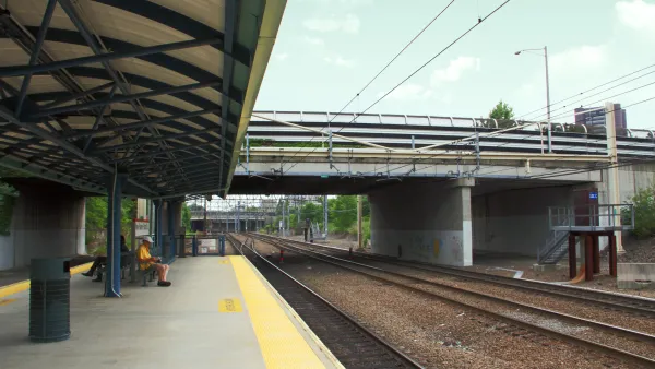
Study: New York Suburbs Need to Zone for Higher Density Transit Oriented Development
The Regional Plan Association released a new study that recommends steps toward higher density transit oriented development in transit adjacent communities around the New York region. The study also teases a big release coming later this month.
Design Competition Yields a New Look for the Proposed Triboro Transit Line
The design proposal for the Triboro Corridor is speculative, but meant to inspire the conversation on one of the "4c" ideas at the heart of the Regional Plan Association's Fourth Regional Plan.

National Parks Layoffs Will Cause Communities to Lose Billions
Thousands of essential park workers were laid off this week, just before the busy spring break season.

Retro-silient?: America’s First “Eco-burb,” The Woodlands Turns 50
A master-planned community north of Houston offers lessons on green infrastructure and resilient design, but falls short of its founder’s lofty affordability and walkability goals.

Delivering for America Plan Will Downgrade Mail Service in at Least 49.5 Percent of Zip Codes
Republican and Democrat lawmakers criticize the plan for its disproportionate negative impact on rural communities.

Test News Post 1
This is a summary

Test News Headline 46
Test for the image on the front page.

Balancing Bombs and Butterflies: How the National Guard Protects a Rare Species
The National Guard at Fort Indiantown Gap uses GIS technology and land management strategies to balance military training with conservation efforts, ensuring the survival of the rare eastern regal fritillary butterfly.
Urban Design for Planners 1: Software Tools
This six-course series explores essential urban design concepts using open source software and equips planners with the tools they need to participate fully in the urban design process.
Planning for Universal Design
Learn the tools for implementing Universal Design in planning regulations.
EMC Planning Group, Inc.
Planetizen
Planetizen
Mpact (formerly Rail~Volution)
Great Falls Development Authority, Inc.
HUDs Office of Policy Development and Research
NYU Wagner Graduate School of Public Service