


Located between San Francisco and the East Bay, with harrowing on- and off-ramps for ingress and egress to the Bay Bridge, Treasure Island will soon add 8,000 homes, 500 hotel rooms, and 550,000 square feet of offices.
Michael Cabantuan details the proposed and under-construction transportation improvements that will provide mobility for commuters and residents of the new Treasure Island, as well as preventing even more gridlock from shutting down the Bay Bridge:
- "New - and safer - on- and off-ramps to and from the bridge are under construction…"
- New ferry service to and from San Francisco is planned for 2018.
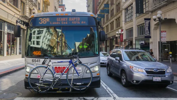
- Increased bus service on Muni and AC Transit is being scheduled.
- "The Bay Bridge eastern span bike path, which now terminates just past the suspension-span tower, is scheduled to make its way to Yerba Buena Island, which connects to Treasure Island, next summer."
- Also, "residents will have to buy transit passes - and drivers will be charged tolls not only to use the Bay Bridge, but also to enter or leave the island." Details of the toll still need to be worked out, but Cabanatuan details the possibilities under consideration.
FULL STORY: Inside Treasure Island's transportation transformation

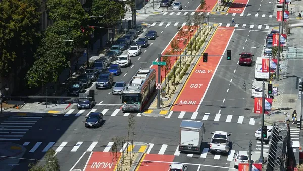
Strategies for Speeding Up Bus Service
A new report will highlight solutions for making bus service faster, more reliable, and thus more attractive to riders.
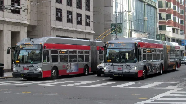
S.F. Accelerates Parking Removal at Bus Stops From 7 Years to 18 Months
Reviewing changes in bulk will make it easier for the Municipal Transportation Agency to remove parking around bus stops in San Francisco.
San Francisco Seeks Public Input on Post-Pandemic Muni Service
The SFMTA is considering a "high-access network" that would let people reach more destinations and increase frequency on some Muni lines.

National Parks Layoffs Will Cause Communities to Lose Billions
Thousands of essential park workers were laid off this week, just before the busy spring break season.

Retro-silient?: America’s First “Eco-burb,” The Woodlands Turns 50
A master-planned community north of Houston offers lessons on green infrastructure and resilient design, but falls short of its founder’s lofty affordability and walkability goals.

Delivering for America Plan Will Downgrade Mail Service in at Least 49.5 Percent of Zip Codes
Republican and Democrat lawmakers criticize the plan for its disproportionate negative impact on rural communities.

Test News Post 1
This is a summary

Test News Headline 46
Test for the image on the front page.

Balancing Bombs and Butterflies: How the National Guard Protects a Rare Species
The National Guard at Fort Indiantown Gap uses GIS technology and land management strategies to balance military training with conservation efforts, ensuring the survival of the rare eastern regal fritillary butterfly.
Urban Design for Planners 1: Software Tools
This six-course series explores essential urban design concepts using open source software and equips planners with the tools they need to participate fully in the urban design process.
Planning for Universal Design
Learn the tools for implementing Universal Design in planning regulations.
EMC Planning Group, Inc.
Planetizen
Planetizen
Mpact (formerly Rail~Volution)
Great Falls Development Authority, Inc.
HUDs Office of Policy Development and Research
NYU Wagner Graduate School of Public Service