


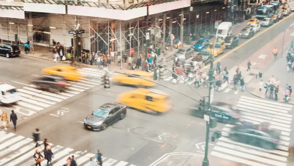
As part of the Vision Zero initiative for traffic safety, the city has hosted a map system that allowed citizens to report safety issues encountered on the street. With the reporting period now over, you can still peruse the findings of the exercise.
Stephen Miller wrote of the crowdsourcing exercise on July 31—the last day for citizens to report safety conditions to the Vision Zero mapping system. Now the city will "start using the information from the map to make plans for safety improvements..."
"Since launching the map in April, the city says there have been more than 7,500 comments about dangerous streets," reports Miller. The map is still available online, even if commenting is now closed.
"The map highlights arterial streets as well as the top pedestrian crash corridors in each borough and the sites of recent pedestrian fatalities. You can zoom in, click on an intersection, and use Google Street View to pinpoint the exact location you want to improve. Then you assign the problem a category like double parking, red light running, speeding, or failure to yield, and describe it in more detail."
FULL STORY: Map Out Which Streets Need Safety Fixes — It’s Now or Never

NYC Pedestrian Deaths Rose in 2024
The city’s Vision Zero efforts seem to have stalled.
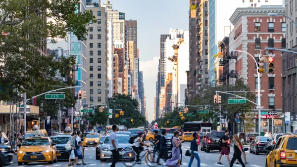
NYC Sees 127 Traffic Deaths in First Half of 2024
The number is the highest since the city pledged to end traffic deaths through Vision Zero policies a decade ago.
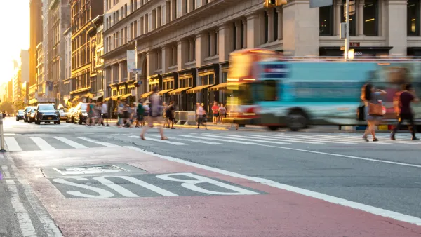
NYC’s Vision Zero Program Saved $90 Million in Medicaid Costs
While traffic fatalities remain far above zero, the city saw fewer injuries compared to areas without Vision Zero initiatives.

Analysis: Cybertruck Fatality Rate Far Exceeds That of Ford Pinto
The Tesla Cybertruck was recalled seven times last year.

National Parks Layoffs Will Cause Communities to Lose Billions
Thousands of essential park workers were laid off this week, just before the busy spring break season.

Retro-silient?: America’s First “Eco-burb,” The Woodlands Turns 50
A master-planned community north of Houston offers lessons on green infrastructure and resilient design, but falls short of its founder’s lofty affordability and walkability goals.

Test News Post 1
This is a summary

Analysis: Cybertruck Fatality Rate Far Exceeds That of Ford Pinto
The Tesla Cybertruck was recalled seven times last year.

Test News Headline 46
Test for the image on the front page.
Urban Design for Planners 1: Software Tools
This six-course series explores essential urban design concepts using open source software and equips planners with the tools they need to participate fully in the urban design process.
Planning for Universal Design
Learn the tools for implementing Universal Design in planning regulations.
EMC Planning Group, Inc.
Planetizen
Planetizen
Mpact (formerly Rail~Volution)
Great Falls Development Authority, Inc.
HUDs Office of Policy Development and Research
NYU Wagner Graduate School of Public Service