


By assessing three different groups of indicators, researchers were able to tour thousands of blocks in Chicago through Google Street View and compare visual signs of reinvestment and renewal between 2007 and 2009.
As reported by Alissa Walker at Gizmodo, a new study by Jackelyn Hwang and Robert J. Sampson published in the American Sociology Review followed the movement of middle and upper-middle-class residents within Chicago's various neighborhoods. However, instead of looking at migratory patterns via Census records, Hwang and Sampson were able to, "isolate three different groups of indicators found on Google Street View images—structural mix, beautification, and lack of disorder and decay—to rank each block" for reinvestment and renewal.
Besides ranking assessed from indicators based on the properties, the study also factors in other forms of investment or disinvestment. For example, "speed bumps and bike lanes are proof of public investment and therefore boosted the block's rating. The presence of trash and graffiti... resulted in a lower score."
Some of the results found when cross-referencing the study's predictors with actual city data help to quantify the spread of gentrification. As Walker notes,
"while [Hwang and Sampson] could clearly see which blocks had showed early signs of gentrification, the process was only likely to continue if at least 35 percent of the residents were white. Even if some gentrification signs were present in neighborhoods that were 40 percent or more black, the process slowed down or eventually stopped."
FULL STORY: Even Scientists Are Using Google Street View to Measure Gentrification


Houston's East River Redevelopment Threatens Historic Black Neighborhoods
Longtime residents are being left behind by new development that has raised housing costs and property taxes for some of Houston's most vulnerable communities, according to an article in the Houston Chronicle.
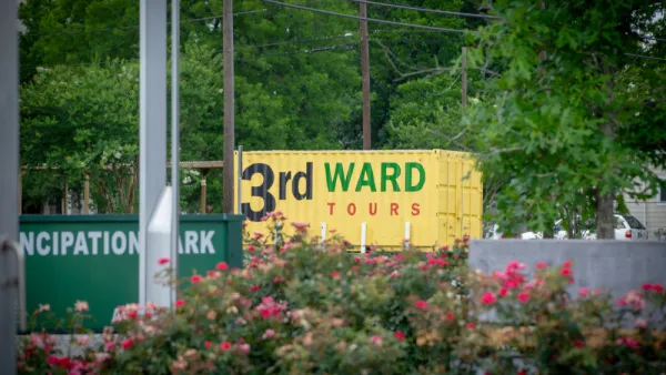
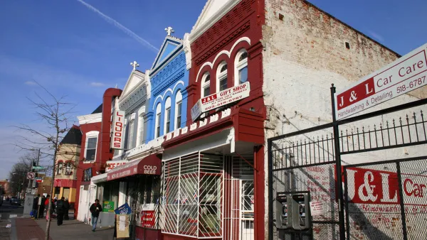
A Tour of Houston's Rapidly Gentrifying Neighborhoods
These Houston communities have experienced the most dramatic demographic changes in the last decade, according to new Census data.
Is Anti-Growth the Wrong Approach to Fighting Gentrification?
Limiting development has been a powerful tool for anti-gentrification activists, but have these policies had counter-productive effects?

Analysis: Cybertruck Fatality Rate Far Exceeds That of Ford Pinto
The Tesla Cybertruck was recalled seven times last year.

National Parks Layoffs Will Cause Communities to Lose Billions
Thousands of essential park workers were laid off this week, just before the busy spring break season.

Retro-silient?: America’s First “Eco-burb,” The Woodlands Turns 50
A master-planned community north of Houston offers lessons on green infrastructure and resilient design, but falls short of its founder’s lofty affordability and walkability goals.

Test News Post 1
This is a summary

Analysis: Cybertruck Fatality Rate Far Exceeds That of Ford Pinto
The Tesla Cybertruck was recalled seven times last year.

Test News Headline 46
Test for the image on the front page.
Urban Design for Planners 1: Software Tools
This six-course series explores essential urban design concepts using open source software and equips planners with the tools they need to participate fully in the urban design process.
Planning for Universal Design
Learn the tools for implementing Universal Design in planning regulations.
EMC Planning Group, Inc.
Planetizen
Planetizen
Mpact (formerly Rail~Volution)
Great Falls Development Authority, Inc.
HUDs Office of Policy Development and Research
NYU Wagner Graduate School of Public Service