


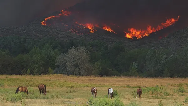
WIFIRE, a real-time and data-driven simulation, prediction, and visualization technology, combines satellite and remote sensor data to forecast the potential spread of wildfires.
As InformationWeek reports, a team of researchers, technologists, and firefighters from the University of California at San Diego and the University of Maryland, with support from the National Science Foundation, have come together to create a far-reaching simulation, visualization, and prediction model for understanding wildfires called WIFIRE. Although still partially in development, WIFIRE has some prototypes and pilot applications now available.
Once completed, WIFIRE will be a vast open network with specialized interfaces and messages sent to receivers. Indeed, according to Elena Malykhina, "having such infrastructure in place would be especially useful during massive environmental events like the wildfires that California firefighters have been battling."
With summer wildfires expected to increase in the next 50 years, WIFIRE is a high-resolution, life-saving data tool with the potential to understand the patterns of wildfires.
FULL STORY: Big Data Tackles Wildfire Control

Wildfires Prompt Forestry Debate on Climate Change
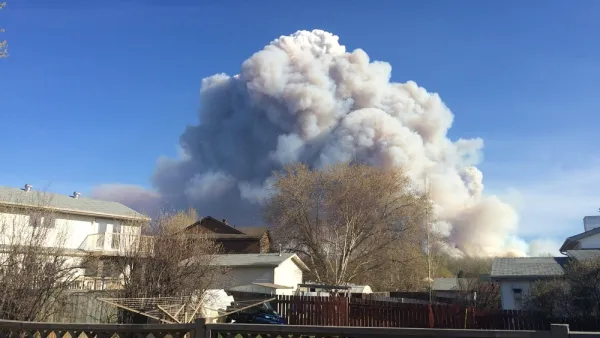
While forests sequester atmospheric carbon dioxide, wildfires release enormous amounts of greenhouse gases as they increase in frequency and intensity from climate change.
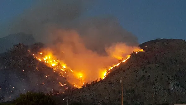
Study: Forest Fires Have Doubled in the Western United States
Wildfires ravaged the western United States again this year, reflecting the new normal of climate change.
Thank Climate Change and Sprawl for Worsening Wildfires
Along with climate conditions, urban sprawl is intensifying wildfires and increasing the damage they do.

National Parks Layoffs Will Cause Communities to Lose Billions
Thousands of essential park workers were laid off this week, just before the busy spring break season.

Retro-silient?: America’s First “Eco-burb,” The Woodlands Turns 50
A master-planned community north of Houston offers lessons on green infrastructure and resilient design, but falls short of its founder’s lofty affordability and walkability goals.

Delivering for America Plan Will Downgrade Mail Service in at Least 49.5 Percent of Zip Codes
Republican and Democrat lawmakers criticize the plan for its disproportionate negative impact on rural communities.

Test News Post 1
This is a summary

Test News Headline 46
Test for the image on the front page.

Balancing Bombs and Butterflies: How the National Guard Protects a Rare Species
The National Guard at Fort Indiantown Gap uses GIS technology and land management strategies to balance military training with conservation efforts, ensuring the survival of the rare eastern regal fritillary butterfly.
Urban Design for Planners 1: Software Tools
This six-course series explores essential urban design concepts using open source software and equips planners with the tools they need to participate fully in the urban design process.
Planning for Universal Design
Learn the tools for implementing Universal Design in planning regulations.
EMC Planning Group, Inc.
Planetizen
Planetizen
Mpact (formerly Rail~Volution)
Great Falls Development Authority, Inc.
HUDs Office of Policy Development and Research
NYU Wagner Graduate School of Public Service