


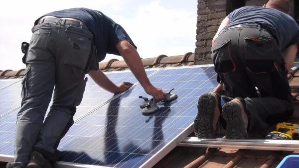
A new app out of MIT provides property owners with detailed information about the solar potential of their roofs. The app is currently at work in five cities.

"A rooftop solar mapping and assessment tool developed at MIT could eventually make it dead simple to discover the solar potential of every single rooftop in a city," reports Derek Markham. "The tool, called Solar System, uses high resolution mapping data to create a 3D model of the entire community, including roofs and trees, and then calculates their solar potential by analyzing it against historical weather data."
The tool, licensed by Madwell, "currently has data for just 5 cities in the US, including Washington DC and Boston." The article provides additional information about the type of data Solar System can provide homeowners looking to add solar power capacity to their homes.
FULL STORY: Solar Mapping Tool Will Evaluate Solar Potential of Every Roof


California Leads in Solar Rooftops
A combination of state and local incentives and building code mandates has helped California far outpace other states in residential rooftop solar permits.

Commercial Buildings, Parking Lots Offer Significant Potential for Solar Energy
Massive swaths of flat rooftops, garages, and surface parking lots go underutilized. They could be producing renewable energy.
California Could Drastically Cut Solar Incentives
Rooftop solar customers in California could face higher costs and reduced incentives if a proposed overhaul of the state's solar program is approved by the Public Utilities Commission.

National Parks Layoffs Will Cause Communities to Lose Billions
Thousands of essential park workers were laid off this week, just before the busy spring break season.

Retro-silient?: America’s First “Eco-burb,” The Woodlands Turns 50
A master-planned community north of Houston offers lessons on green infrastructure and resilient design, but falls short of its founder’s lofty affordability and walkability goals.

Delivering for America Plan Will Downgrade Mail Service in at Least 49.5 Percent of Zip Codes
Republican and Democrat lawmakers criticize the plan for its disproportionate negative impact on rural communities.

Test News Post 1
This is a summary

Test News Headline 46
Test for the image on the front page.

Balancing Bombs and Butterflies: How the National Guard Protects a Rare Species
The National Guard at Fort Indiantown Gap uses GIS technology and land management strategies to balance military training with conservation efforts, ensuring the survival of the rare eastern regal fritillary butterfly.
Urban Design for Planners 1: Software Tools
This six-course series explores essential urban design concepts using open source software and equips planners with the tools they need to participate fully in the urban design process.
Planning for Universal Design
Learn the tools for implementing Universal Design in planning regulations.
EMC Planning Group, Inc.
Planetizen
Planetizen
Mpact (formerly Rail~Volution)
Great Falls Development Authority, Inc.
HUDs Office of Policy Development and Research
NYU Wagner Graduate School of Public Service