


File under tools for the tool kit: Jarrett Walker of Human Transit shares details about Nearmap, an aerial photography tool that serves as a helpful alternative to Google Earth.
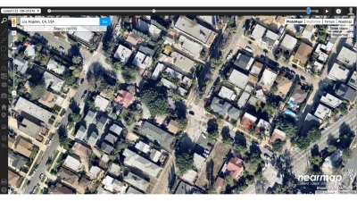
According to Jarrett Walker, "when it comes down to questions of rights-and-lefts, at the lowest level of planning altitude, one source of information is critical: aerial photography."
To aid planners of all stripes in the acquisition of useful aerial photography, Walker shares news of resource called Nearmap, which he describes as "an alternative to Google Earth that has grown more and more impressive. Initially confined to Australia and New Zealand (I used it all the time when I lived there) it now includes all large US cities. The site's best feature is the very recent, high-resolution imagery it offers, but it also has nice image capture and layer overlay tools, all in-browser."
FULL STORY: nearmap brings its high-resolution satellite imagery to the US

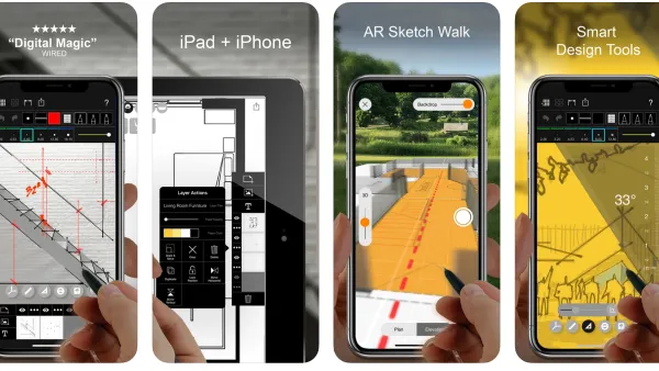
Best Apps for Urban Planning in 2022
Mobile apps continue to redefine the practices of planning—urban planning, regional planning, transportation planning, community planning, and rural planning included.
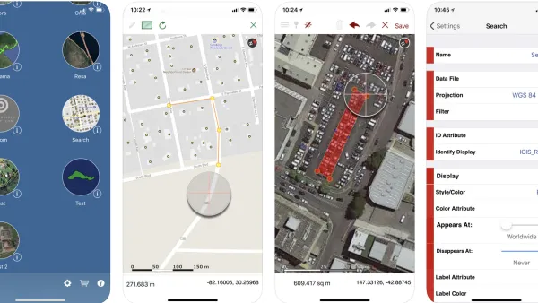
Top Planning Apps for 2019
Insights into the mobile app technology used in the practice and study of planning.
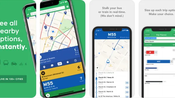
The Best Planning Apps
Planetizen is pleased to present the best of the latest crop of mobile apps by planners and for planners.

National Parks Layoffs Will Cause Communities to Lose Billions
Thousands of essential park workers were laid off this week, just before the busy spring break season.

Retro-silient?: America’s First “Eco-burb,” The Woodlands Turns 50
A master-planned community north of Houston offers lessons on green infrastructure and resilient design, but falls short of its founder’s lofty affordability and walkability goals.

Delivering for America Plan Will Downgrade Mail Service in at Least 49.5 Percent of Zip Codes
Republican and Democrat lawmakers criticize the plan for its disproportionate negative impact on rural communities.

Test News Post 1
This is a summary

Test News Headline 46
Test for the image on the front page.

Balancing Bombs and Butterflies: How the National Guard Protects a Rare Species
The National Guard at Fort Indiantown Gap uses GIS technology and land management strategies to balance military training with conservation efforts, ensuring the survival of the rare eastern regal fritillary butterfly.
Urban Design for Planners 1: Software Tools
This six-course series explores essential urban design concepts using open source software and equips planners with the tools they need to participate fully in the urban design process.
Planning for Universal Design
Learn the tools for implementing Universal Design in planning regulations.
EMC Planning Group, Inc.
Planetizen
Planetizen
Mpact (formerly Rail~Volution)
Great Falls Development Authority, Inc.
HUDs Office of Policy Development and Research
NYU Wagner Graduate School of Public Service