


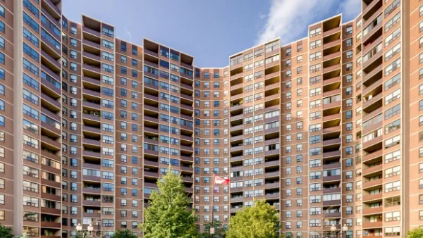
An image comparing the present day with Toronto from only 13 years ago has some comparing the Canadian city to New York in the 1920s.
Emily Williams reports that a photo posted recently on Reddit compared Toronto 2001 and Toronto 2014, to dramatic effect. "The city’s skyline had largely been defined for decades by the CN Tower, which once dominated nearly all by itself," writes Williams. "Now, new office towers and particularly high-rise condominiums, such as the residences at the Ritz Carlton that carve into the sky at a staggering 209 metres, offer some competition — and perhaps even a little magic."
The article includes commentary (soundbites from former Planning Director Paul bedford) on Toronto's expanding role as a global city as well as an infographic that identifies each of the buildings on the skyline.
The image produced surprise on Twitter, including these two pointed responses:


FULL STORY: Toronto skyline’s ‘absolute transformation’ captured by two photos taken 13 years apart


‘Skyscraper Race’ Underway in Toronto
No skyline in North America has changed as drastically as Toronto’s in recent decades. A slate of new skyscraper proposals, called a “skyscraper race” by observers, could continue the trend.
Op-Ed: What Can Be Done About Toronto's Drabness?
After decades of "just-good-enough when it comes to design," now may be the time for Toronto to take steps to upgrade its aesthetics.
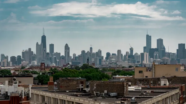
Envisioning the Chicago Skyline of the Near Future
An already impressive skyline will be gaining some very tall additions by 2023.

National Parks Layoffs Will Cause Communities to Lose Billions
Thousands of essential park workers were laid off this week, just before the busy spring break season.

Retro-silient?: America’s First “Eco-burb,” The Woodlands Turns 50
A master-planned community north of Houston offers lessons on green infrastructure and resilient design, but falls short of its founder’s lofty affordability and walkability goals.

Delivering for America Plan Will Downgrade Mail Service in at Least 49.5 Percent of Zip Codes
Republican and Democrat lawmakers criticize the plan for its disproportionate negative impact on rural communities.

Test News Post 1
This is a summary

Test News Headline 46
Test for the image on the front page.

Balancing Bombs and Butterflies: How the National Guard Protects a Rare Species
The National Guard at Fort Indiantown Gap uses GIS technology and land management strategies to balance military training with conservation efforts, ensuring the survival of the rare eastern regal fritillary butterfly.
Urban Design for Planners 1: Software Tools
This six-course series explores essential urban design concepts using open source software and equips planners with the tools they need to participate fully in the urban design process.
Planning for Universal Design
Learn the tools for implementing Universal Design in planning regulations.
EMC Planning Group, Inc.
Planetizen
Planetizen
Mpact (formerly Rail~Volution)
Great Falls Development Authority, Inc.
HUDs Office of Policy Development and Research
NYU Wagner Graduate School of Public Service