


Mapping the nation's 600,000 bridges reveals a remarkably fine-grained map of…the nation.

"In his 2016 budget, President Obama proposed a one-time tax on foreign earnings in order to fund a $478 billion program to upgrade the nation's roads, bridges, railroads and more. As policymakers debate the merits of the proposal in coming months, it helps to visualize what exactly we're talking about when we talk about the nation's infrastructure," writes Christopher Ingraham.
To create a resource to aid in that visualization, Wonkblog used data from the Federal Highway Administration's National Bridge Inventory and mapped every bridge in the United States longer than 20 feet.
Ingraham adds more language helpful in setting a political context for the mapping exercise: "The map illustrates the ubiquity of America's [sic] bridges -- it's basically impossible to go for a drive in any densely-populated area and not cross one. But each of those bridges -- all 600,000 of them -- need to be maintained. This maintenance costs money. And some states and localities do a better job of it than others."
FULL STORY: A surprisingly accurate map of the U.S. made with 600,000 bridges — and nothing else

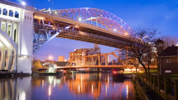
Defunct Streetcar Bridge Could Become Cleveland’s ‘Low Line’
The city will develop a plan to transform an unused streetcar deck on the Veterans Memorial Bridge into a connector for bikes and pedestrians as well as a welcoming public space.

Baltimore Traffic Suffering From Absence of Key Bridge
The loss of a key route to the Port of Baltimore is causing major delays and long detours on alternate routes.

Delaware to Invest $15M in Coastal Resilience
State officials say they’re moving forward with emergency repair and renourishment of sand dunes around the Indian River Inlet Bridge as they await a promised $10 million federal contribution.

Analysis: Cybertruck Fatality Rate Far Exceeds That of Ford Pinto
The Tesla Cybertruck was recalled seven times last year.

National Parks Layoffs Will Cause Communities to Lose Billions
Thousands of essential park workers were laid off this week, just before the busy spring break season.

Retro-silient?: America’s First “Eco-burb,” The Woodlands Turns 50
A master-planned community north of Houston offers lessons on green infrastructure and resilient design, but falls short of its founder’s lofty affordability and walkability goals.

Test News Post 1
This is a summary

Analysis: Cybertruck Fatality Rate Far Exceeds That of Ford Pinto
The Tesla Cybertruck was recalled seven times last year.

Test News Headline 46
Test for the image on the front page.
Urban Design for Planners 1: Software Tools
This six-course series explores essential urban design concepts using open source software and equips planners with the tools they need to participate fully in the urban design process.
Planning for Universal Design
Learn the tools for implementing Universal Design in planning regulations.
EMC Planning Group, Inc.
Planetizen
Planetizen
Mpact (formerly Rail~Volution)
Great Falls Development Authority, Inc.
HUDs Office of Policy Development and Research
NYU Wagner Graduate School of Public Service