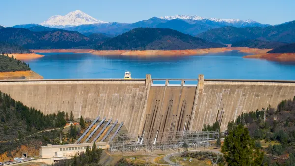
When water policy and land use planning operate in separate spheres, it's more difficult to design for efficient resource use. Better communication is needed in the drought-stricken southwest.

In this piece for Next City, Rachel Dovey explains why land use planners and water district officials "don't speak the same language" when it comes to designating resources efficiently. The first culprit is sprawl itself: "Lawns for single-family homes; paved-over green space along an expanding border; parking lots that funnel storm water into disposal drains [...] and a subterranean network of mains and pipes that becomes costlier as its footprint grows."
Lack of coordination between the two types of planning also takes its toll: "For example, water agencies often project a city's future consumption based on current gallon-per-household-per-month figures. But if planners are up-zoning a city for mixed-use, thereby cutting water demand, everyone ends up with inflated data."
The southwestern regions hit hardest by the current drought "also happen to be the regions that built cities for cars, garages, lawns and single-family homes." The article cites an expert who believes that most officials understand the need for infill, but smart growth and actual water savings don't always go hand-in-hand.
FULL STORY: Why Planners and Water Officials Need to Hang Out

National Parks Layoffs Will Cause Communities to Lose Billions
Thousands of essential park workers were laid off this week, just before the busy spring break season.

Retro-silient?: America’s First “Eco-burb,” The Woodlands Turns 50
A master-planned community north of Houston offers lessons on green infrastructure and resilient design, but falls short of its founder’s lofty affordability and walkability goals.

Delivering for America Plan Will Downgrade Mail Service in at Least 49.5 Percent of Zip Codes
Republican and Democrat lawmakers criticize the plan for its disproportionate negative impact on rural communities.

Test News Post 1
This is a summary

Test News Headline 46
Test for the image on the front page.

Balancing Bombs and Butterflies: How the National Guard Protects a Rare Species
The National Guard at Fort Indiantown Gap uses GIS technology and land management strategies to balance military training with conservation efforts, ensuring the survival of the rare eastern regal fritillary butterfly.
Urban Design for Planners 1: Software Tools
This six-course series explores essential urban design concepts using open source software and equips planners with the tools they need to participate fully in the urban design process.
Planning for Universal Design
Learn the tools for implementing Universal Design in planning regulations.
EMC Planning Group, Inc.
Planetizen
Planetizen
Mpact (formerly Rail~Volution)
Great Falls Development Authority, Inc.
HUDs Office of Policy Development and Research
NYU Wagner Graduate School of Public Service


