


Penn IUR Co-Directors Genie Birch and Susan Wachter write about the promise of geospatial technologies in promoting sustainable urbanization.
That the earth's landscape is changing around us is no secret: urban areas are expanding, population densities are increasing, and green spaces are shrinking. In the midst of this transformation, urbanists, scientists, and policy makers are watching and weighing in, hoping that through better understanding of the dynamics of urbanization and sustainability, the earth can adapt, accommodate, and—yes—even thrive as the global population nears an anticipated 9 billion or more in the next three decades.
The good news is that we now have tools to look squarely at changes in land cover and urban form, to see how they might be shifting the global maps describing the natural and manmade features that affect how people live. Some of the most promising tools are geospatial technologies, methods used to visualize, measure, and analyze earth's features. The most well known are GPS (global positioning systems), GIS (geographical information systems), and RS (remote sensing).
FULL STORY: Geospatial Technologies for a Healthier, More Sustainable, and Increasingly Urban Earth

Farewell to the Trusty Map Book
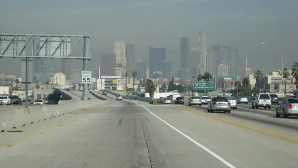
From the years roughly spanning the invention of the automobile to the invention of the smartphone, every driver in Los Angeles traveled with a Thomas Bros. map book. Those days are gone, but nostalgia for physical maps remains.
Bike + GPS = Digital Doodling Over the Streets of Baltimore
A Baltimore schoolteacher uses his phone and his bicycle to construct whimsical sketches on digital maps of the city, Nate Berg reports.

What Makes Affordable Housing Green?
There's no one way to determine what makes “green” housing. Here's a breakdown of the standards and considerations used by the affordable housing industry.

Analysis: Cybertruck Fatality Rate Far Exceeds That of Ford Pinto
The Tesla Cybertruck was recalled seven times last year.

National Parks Layoffs Will Cause Communities to Lose Billions
Thousands of essential park workers were laid off this week, just before the busy spring break season.

Retro-silient?: America’s First “Eco-burb,” The Woodlands Turns 50
A master-planned community north of Houston offers lessons on green infrastructure and resilient design, but falls short of its founder’s lofty affordability and walkability goals.

Test News Post 1
This is a summary

Analysis: Cybertruck Fatality Rate Far Exceeds That of Ford Pinto
The Tesla Cybertruck was recalled seven times last year.

Test News Headline 46
Test for the image on the front page.
Urban Design for Planners 1: Software Tools
This six-course series explores essential urban design concepts using open source software and equips planners with the tools they need to participate fully in the urban design process.
Planning for Universal Design
Learn the tools for implementing Universal Design in planning regulations.
EMC Planning Group, Inc.
Planetizen
Planetizen
Mpact (formerly Rail~Volution)
Great Falls Development Authority, Inc.
HUDs Office of Policy Development and Research
NYU Wagner Graduate School of Public Service