


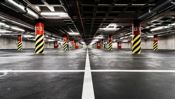
Imagine the kind of infill housing developments that could follow if Minneapolis approves a proposed ordinance to reduce and eliminate parking requirements for transit-adjacent developments all over the city.

Nick Magrino details the context and reasoning behind a proposal in Minneapolis that would reduce and eliminate minimum parking requirements [pdf] for residential developments along bus and rail transit lines.
According to Margino, the "proposal would eliminate all minimum off-street parking requirements for residential developments very close to high-frequency transit stops."
More specifically:
- Parking requirements would be eliminated for residential units constructed within 350 feet of a bus or rail transit stop.
- At a second-tier of parking requirements, residential buildings built within one-quarter mile of bus or rail stops with midday service and 15 minute headways would have two requirements. Building with 3-50 units would have no required parking, and buildings of greater than 50 units would require one space per two units.
- A third tier of parking requirements would allow a 10 percent reduction of parking requirements (from a previous 1:1 parking to unit ration) for residential buildings of any size within 350 feet of bus or rail transit stops with 15- to 30-minute headways.
The article includes tables and a map to make the new parking requirements a little easier to digest.
Margino also notes that most of Downtown Minneapolis has been without minimum parking requirements for residential developments since 2009, though few developers have taken advantage of the ordinance yet. If adopted, however, the new requirement would open up new infill opportunities all over the city. Without the constraints of high land costs in Downtown, Margino speculates that more housing typologies of the "missing middle" variety (e.g., courtyard apartments, bungalow courts, townhouses, and live/work lofts) could become feasible.
FULL STORY: Minneapolis Proposes to Eliminate Minimum Parking Requirements Near Transit

Parking Reform is Sweeping the Country. Does it Work?
A new study shows a significant reduction in housing construction costs in cities that have reduced or eliminated minimum parking requirements.

Twin Cities Parking Reform Shows Promising Results
Minneapolis and St. Paul both eliminated parking minimums, paving the way for less parking and more housing.

Minneapolis Housing Plan a Success—Not for the Reason You Think
Housing advocates praise the city’s move to eliminate single-family zoning by legalizing triplexes on single-family lots, but that isn’t why housing construction is growing.

National Parks Layoffs Will Cause Communities to Lose Billions
Thousands of essential park workers were laid off this week, just before the busy spring break season.

Retro-silient?: America’s First “Eco-burb,” The Woodlands Turns 50
A master-planned community north of Houston offers lessons on green infrastructure and resilient design, but falls short of its founder’s lofty affordability and walkability goals.

Delivering for America Plan Will Downgrade Mail Service in at Least 49.5 Percent of Zip Codes
Republican and Democrat lawmakers criticize the plan for its disproportionate negative impact on rural communities.

Test News Post 1
This is a summary

Test News Headline 46
Test for the image on the front page.

Balancing Bombs and Butterflies: How the National Guard Protects a Rare Species
The National Guard at Fort Indiantown Gap uses GIS technology and land management strategies to balance military training with conservation efforts, ensuring the survival of the rare eastern regal fritillary butterfly.
Urban Design for Planners 1: Software Tools
This six-course series explores essential urban design concepts using open source software and equips planners with the tools they need to participate fully in the urban design process.
Planning for Universal Design
Learn the tools for implementing Universal Design in planning regulations.
EMC Planning Group, Inc.
Planetizen
Planetizen
Mpact (formerly Rail~Volution)
Great Falls Development Authority, Inc.
HUDs Office of Policy Development and Research
NYU Wagner Graduate School of Public Service