


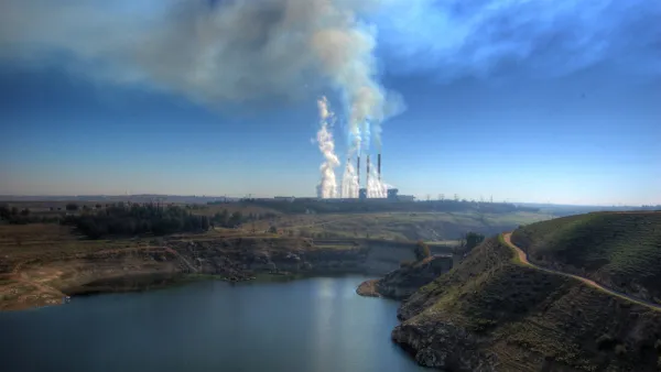
The U.S. Environmental Protection Agency released a new tool to visualize the ongoing realties of environmental justice in cities around the country.
Daniel Rivero shares news of a new tool from the U.S. Environmental Protection Agency (EPA) that maps environmental indicators next to socioeconomic information from the U.S. Census.
"The results are at times stark and shocking," writes Rivero.
The post goes on to share pollution maps for 18 major U.S. cities, showing how minority populations usually occupy the neighborhoods most impacted by ozone levels, particulate matter, and known or threatened releases of chemicals.
FULL STORY: These are the most polluted neighborhoods in your city

The Trump Administration's Environmental Policies Have Consequences for Black Lives
A Trump administration decision not to tighten Clean Air Act restrictions on soot pollution will have more consequences for Black Americans.
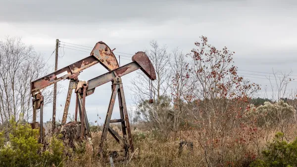
Addressing Orphan Wells for Environmental Justice
Remediating and repurposing some orphan oil and gas wells into parks can turn environmental hazards into community assets, promoting health, environmental justice, and accessible green space for underserved areas.

Court Bars EPA Probes in Louisiana’s ‘Cancer Alley’
A federal court ruling effectively prevents the Environmental Protection Agency from pursuing civil rights claims in one of the nation’s most polluted regions.

Analysis: Cybertruck Fatality Rate Far Exceeds That of Ford Pinto
The Tesla Cybertruck was recalled seven times last year.

National Parks Layoffs Will Cause Communities to Lose Billions
Thousands of essential park workers were laid off this week, just before the busy spring break season.

Retro-silient?: America’s First “Eco-burb,” The Woodlands Turns 50
A master-planned community north of Houston offers lessons on green infrastructure and resilient design, but falls short of its founder’s lofty affordability and walkability goals.

Test News Post 1
This is a summary

Analysis: Cybertruck Fatality Rate Far Exceeds That of Ford Pinto
The Tesla Cybertruck was recalled seven times last year.

Test News Headline 46
Test for the image on the front page.
Urban Design for Planners 1: Software Tools
This six-course series explores essential urban design concepts using open source software and equips planners with the tools they need to participate fully in the urban design process.
Planning for Universal Design
Learn the tools for implementing Universal Design in planning regulations.
EMC Planning Group, Inc.
Planetizen
Planetizen
Mpact (formerly Rail~Volution)
Great Falls Development Authority, Inc.
HUDs Office of Policy Development and Research
NYU Wagner Graduate School of Public Service