


An analysis and accompanying interactive map from the Urban Institute show where the nation's richest and poorest tend to live. The map tells a tale of deeply ingrained wealth segregation.
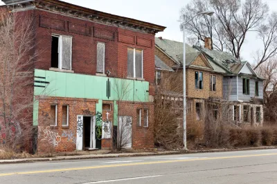
Income and wealth inequality might not matter so much if rich and poor lived as neighbors. But for a long time in the United States they have not. "The patterns of where people live in most metropolitan areas — Washington is not unique — take the problems of inequality and make them even worse. They concentrate poverty and concentrate privilege at the same time."
City services and collective quality of life often align with the average prosperity of a neighborhood's residents. "And that means that people who can't afford an expensive home also don't get access to safe streets, cleaner air and better education."
In an analysis and a map depicting the entire country, "the Urban Institute's Rolf Pendall and Carl Hedman ranked Census tracts not just by their average household income. They constructed a single socioeconomic score that also captures the homeownership rate, the median home value and the share of people with college degrees."
While middling neighborhoods might fluctuate, the nation's richest and poorest communities have stayed quite stable: "deeply poor places tend to stay that way, but so do incredibly wealthy ones." The areas around Baltimore, Columbus, Dallas, Houston and Philadelphia exhibit especially stark geographic wealth divides.
FULL STORY: These maps show the vastly separate worlds of the rich and poor

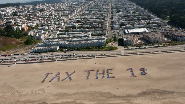
How Falling Inequality Rates Mislead
While the vast majority of cities saw an increase—or no decrease—in neighborhood inequality since 1990, nearly 30 regions became more equal. But paper equality can be problematic when the rich simply up and left town.
What's Missed When Taking the Scenic Route?
An app that plots the most beautiful route across cities made news earlier this month, but one commenter worries about how taking the more scenic route could make it harder to improve quality of life in the "less-than-scenic" sections of cities.
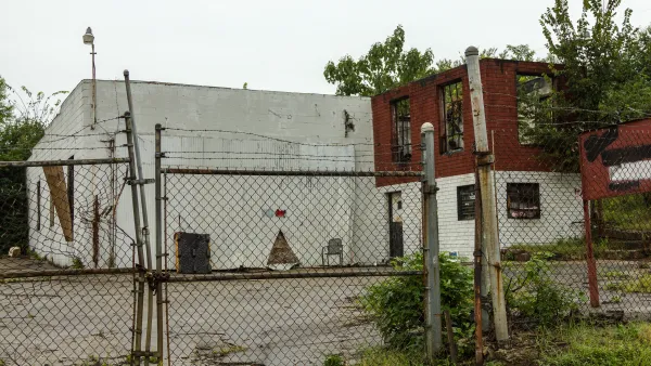
Map Identifies DeKalb County Brownfield Sites
The GIS tool is designed to help developers find vacant and blighted lots that could be restored for new housing or other uses.

National Parks Layoffs Will Cause Communities to Lose Billions
Thousands of essential park workers were laid off this week, just before the busy spring break season.

Retro-silient?: America’s First “Eco-burb,” The Woodlands Turns 50
A master-planned community north of Houston offers lessons on green infrastructure and resilient design, but falls short of its founder’s lofty affordability and walkability goals.

Delivering for America Plan Will Downgrade Mail Service in at Least 49.5 Percent of Zip Codes
Republican and Democrat lawmakers criticize the plan for its disproportionate negative impact on rural communities.

Test News Post 1
This is a summary

Test News Headline 46
Test for the image on the front page.

Balancing Bombs and Butterflies: How the National Guard Protects a Rare Species
The National Guard at Fort Indiantown Gap uses GIS technology and land management strategies to balance military training with conservation efforts, ensuring the survival of the rare eastern regal fritillary butterfly.
Urban Design for Planners 1: Software Tools
This six-course series explores essential urban design concepts using open source software and equips planners with the tools they need to participate fully in the urban design process.
Planning for Universal Design
Learn the tools for implementing Universal Design in planning regulations.
EMC Planning Group, Inc.
Planetizen
Planetizen
Mpact (formerly Rail~Volution)
Great Falls Development Authority, Inc.
HUDs Office of Policy Development and Research
NYU Wagner Graduate School of Public Service