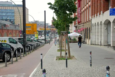
The Federal Highway Administration may put an end to rules mandating wide lanes and "clear zones," making it easier to implement complete streets.

A set of "outdated" rules currently guides street construction, taking inspiration from what works on highways. "In what appears to be a major breakthrough, yesterday the Federal Highway Administration [FHWA] proposed rule changes that will allow cities and towns to more easily design streets in a way that's consistent with an urban setting," according to Angie Schmitt.
The existing rules are a source of delay and frustration when it comes to implementing safer complete street designs. "The FHWA may drop 11 of the 13 design requirements that currently apply to streets in the National Highway System designed for speeds below 50 miles per hour. In place of requirements that dictate things like street width and clear zones, FHWA is encouraging engineers to use judgment and consider the surroundings."
"If the proposed changes are approved, local governments would no longer have to deal with a ton of red tape any time their plans deviate from the highway-inspired standards. As it stands, exemptions are often required if planners want to plant street trees, for example, or reduce vehicular lane widths to fit in bike lanes."
FULL STORY: Feds Propose Major Rule Changes to Eliminate Barriers to Safer Streets

National Parks Layoffs Will Cause Communities to Lose Billions
Thousands of essential park workers were laid off this week, just before the busy spring break season.

Retro-silient?: America’s First “Eco-burb,” The Woodlands Turns 50
A master-planned community north of Houston offers lessons on green infrastructure and resilient design, but falls short of its founder’s lofty affordability and walkability goals.

Delivering for America Plan Will Downgrade Mail Service in at Least 49.5 Percent of Zip Codes
Republican and Democrat lawmakers criticize the plan for its disproportionate negative impact on rural communities.

Test News Post 1
This is a summary

Test News Headline 46
Test for the image on the front page.

Balancing Bombs and Butterflies: How the National Guard Protects a Rare Species
The National Guard at Fort Indiantown Gap uses GIS technology and land management strategies to balance military training with conservation efforts, ensuring the survival of the rare eastern regal fritillary butterfly.
Urban Design for Planners 1: Software Tools
This six-course series explores essential urban design concepts using open source software and equips planners with the tools they need to participate fully in the urban design process.
Planning for Universal Design
Learn the tools for implementing Universal Design in planning regulations.
EMC Planning Group, Inc.
Planetizen
Planetizen
Mpact (formerly Rail~Volution)
Great Falls Development Authority, Inc.
HUDs Office of Policy Development and Research
NYU Wagner Graduate School of Public Service


