


Build it and they will come hasn't worked out so well for the Gillespie Field station on the Green Line of the San Diego Metropolitan Transit System. A recent scorecard rated the station lowest among 489 competitors.
Mark Srikishnan provides a case study of the worst rail station in the state of California—that dubious distinction courtesy of the metric produced by a report recently released by Next 10, which graded the state's 489 rail stations on their connection to their surrounding neighborhood.
The lowest scoring station of all 489 stations: the Gillespie Field trolley station, located in El Cajon on the Green Line of the San Diego Metropolitan Transit System. According to Srikishnan, the station is located near the county-owned Gillespie Field Airport, but not much else.
The isolation of the station did not fare well with the criteria of the study, described by Srikishnan: "There needed to be a high number of residents or employees in the surrounding areas who actually relied on public transportation. The station needed to be near amenities, like stores, banks and restaurants. It also needed to encourage walking with features like dense housing, sidewalks and cross-walks. The study also looked at home values, crime rates and any future plans for development in the transit areas."
So, for instance, the Gillespie Station earns a Walkscore of 32. Srikishnan also reports that development plans on the table in 1995, when the station originally opened, failed to materialize. Both CalTrans and the San Diego Association of Governments have targeted the Gillespie Field for growth, and "El Cajon recently submitted a proposal to SANDAG for funds to actually make some of these visions a reality."
FULL STORY: The Case of the Worst-Ranked Transit Station in California

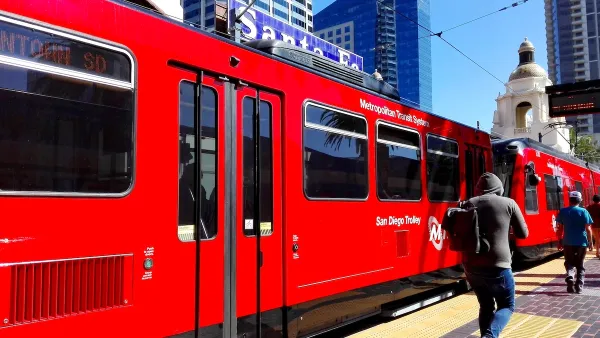
San Diego Trolley Nation’s Most Popular Light Rail
The system's ridership benefited from an extension project and free transit for youth.

San Diego Expands Transit Oriented Zoning From a Half-Mile to a Mile
A recent package of code changes by the city of San Diego will make it possible to build high-rise residential buildings and accessory dwelling units in larger areas around public transit.
How to Hire and Retain Bus Drivers During the Great Resignation
Bus systems all over the country are cutting service due to an ongoing shortage of operators—the drivers who make the whole system go. A few examples of success provide a way forward.

National Parks Layoffs Will Cause Communities to Lose Billions
Thousands of essential park workers were laid off this week, just before the busy spring break season.

Retro-silient?: America’s First “Eco-burb,” The Woodlands Turns 50
A master-planned community north of Houston offers lessons on green infrastructure and resilient design, but falls short of its founder’s lofty affordability and walkability goals.

Delivering for America Plan Will Downgrade Mail Service in at Least 49.5 Percent of Zip Codes
Republican and Democrat lawmakers criticize the plan for its disproportionate negative impact on rural communities.

Test News Post 1
This is a summary

Test News Headline 46
Test for the image on the front page.

Balancing Bombs and Butterflies: How the National Guard Protects a Rare Species
The National Guard at Fort Indiantown Gap uses GIS technology and land management strategies to balance military training with conservation efforts, ensuring the survival of the rare eastern regal fritillary butterfly.
Urban Design for Planners 1: Software Tools
This six-course series explores essential urban design concepts using open source software and equips planners with the tools they need to participate fully in the urban design process.
Planning for Universal Design
Learn the tools for implementing Universal Design in planning regulations.
EMC Planning Group, Inc.
Planetizen
Planetizen
Mpact (formerly Rail~Volution)
Great Falls Development Authority, Inc.
HUDs Office of Policy Development and Research
NYU Wagner Graduate School of Public Service