


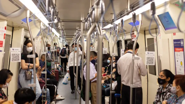
With so many potential sources of data with which to analyze traffic behaviors and real-time conditions, University of Toronto engineers have created an online portal that could one day help drive a system populated with autonomous cars.
Tyler Irving explains the Connected Vehicles and Smart Transportation (CVST) portal, a new tool that "aims to bring harmony to how we monitor and manage traffic by integrating existing traffic monitoring data, using new technologies to address the gaps and generating insights that can inform decision making."
The portal, overseen by University of Toronto Engineering Professor Alberto Leon-Garcia with support from the University of Toronto Transportation Research Institute, includes a high-definition video feed produced by drones among data collected from "smart phones (Google Maps, Twitter), TTC buses, BIXI bicycles, border crossings and much more." Irving explains more about how the portal makes sense of all that data:
"Although it pulls all these data sources together, CVST is more than simply an aggregator of new and existing information. It also incorporates an analytics layer, which uses machine learning and other techniques to translate data into useful information. Crucially, these outputs are made available via an open application program interface (API). This allows anyone from curious citizens to city planners to app developers to leverage the system in order to meet their own needs."
FULL STORY: An open data platform for improving Toronto transportation


A More Complete Picture of the 'Smart City' Plans in Toronto
The game changing redevelopment proposed by Sidewalk Labs for the Toronto waterfront district of Quayside took new shape recently after the company presented an updated draft of its plan.

Tech Trends for Cities and States
Smart cities technology is well behind schedule, but the technology industry hasn’t given up on new digital solutions, self-driving cars, curb management, and AI-powered systems.
A Sustainable Future Requires Smart, Data-Driven Public Transport Networks
Devin de Vries, CEO of WhereIsMyTransport, makes the case for new and improved mobility as a tool for sustainability and equitable economic development.

National Parks Layoffs Will Cause Communities to Lose Billions
Thousands of essential park workers were laid off this week, just before the busy spring break season.

Retro-silient?: America’s First “Eco-burb,” The Woodlands Turns 50
A master-planned community north of Houston offers lessons on green infrastructure and resilient design, but falls short of its founder’s lofty affordability and walkability goals.

Delivering for America Plan Will Downgrade Mail Service in at Least 49.5 Percent of Zip Codes
Republican and Democrat lawmakers criticize the plan for its disproportionate negative impact on rural communities.

Test News Post 1
This is a summary

Test News Headline 46
Test for the image on the front page.

Balancing Bombs and Butterflies: How the National Guard Protects a Rare Species
The National Guard at Fort Indiantown Gap uses GIS technology and land management strategies to balance military training with conservation efforts, ensuring the survival of the rare eastern regal fritillary butterfly.
Urban Design for Planners 1: Software Tools
This six-course series explores essential urban design concepts using open source software and equips planners with the tools they need to participate fully in the urban design process.
Planning for Universal Design
Learn the tools for implementing Universal Design in planning regulations.
EMC Planning Group, Inc.
Planetizen
Planetizen
Mpact (formerly Rail~Volution)
Great Falls Development Authority, Inc.
HUDs Office of Policy Development and Research
NYU Wagner Graduate School of Public Service