


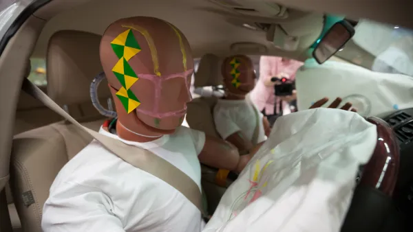
An intrepid mapmaker and data cruncher has created a map that illustrates the ubiquity of fatalities on U.S. roads and highways.
Max Galka gathered the data from the U.S. Department of Transportation's Fatality Analysis Reporting System (FARS) into an interactive map that shows "373,377 points, one for each person who died in a vehicle crash between 2004 and 2013."
Each of the icons on the mapping representing data points also shows more information about the crash—i.e., whether the victim was a driver, passenger, or pedestrian, for instance. "Optionally, the map allows you to highlight crashes by contributing factor: alcohol, speeding, or distracted driving (using the Dept of Transportation’s definition)," adds Galka.
The map is an example of the democratic power of new mapping and data tools. Max Galka runs the Metrocosm website and created the map by himself, but people all over the country are picking up the story and sharing it online.
FULL STORY: Every Death on Every U.S. Road 2004-2013


Report: Racial Gap in Traffic Deaths Persists
Communities of color have significantly higher rates of traffic fatalities, according to federal research.
Acceptable Deaths
What can we learn from our Covid response?
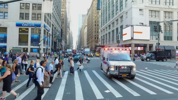
New York City Traffic Fatalities Pass 2019 Totals
The visions of a car-free utopia that might have seemed like a potential silver lining in March and April have given away to a tragic reality.

Analysis: Cybertruck Fatality Rate Far Exceeds That of Ford Pinto
The Tesla Cybertruck was recalled seven times last year.

National Parks Layoffs Will Cause Communities to Lose Billions
Thousands of essential park workers were laid off this week, just before the busy spring break season.

Retro-silient?: America’s First “Eco-burb,” The Woodlands Turns 50
A master-planned community north of Houston offers lessons on green infrastructure and resilient design, but falls short of its founder’s lofty affordability and walkability goals.

Test News Post 1
This is a summary

Analysis: Cybertruck Fatality Rate Far Exceeds That of Ford Pinto
The Tesla Cybertruck was recalled seven times last year.

Test News Headline 46
Test for the image on the front page.
Urban Design for Planners 1: Software Tools
This six-course series explores essential urban design concepts using open source software and equips planners with the tools they need to participate fully in the urban design process.
Planning for Universal Design
Learn the tools for implementing Universal Design in planning regulations.
EMC Planning Group, Inc.
Planetizen
Planetizen
Mpact (formerly Rail~Volution)
Great Falls Development Authority, Inc.
HUDs Office of Policy Development and Research
NYU Wagner Graduate School of Public Service