


The new Transit Explorer tool offers a new way to visualize the scale of the country's transit infrastructure investments. Spoiler alert: 2016 will be a big year.

Yonah Freemark of The Transport Politic has released a new tool for visualizing the progress and promise of transit projects around the country. The value of Transit Explorer, as the new tool is called, is on display in a recent blog post by Freemark that performs an inventory of the transit openings and construction starts planned for 2016.
Freemark sums up the evidence visible on Transit Explorer:
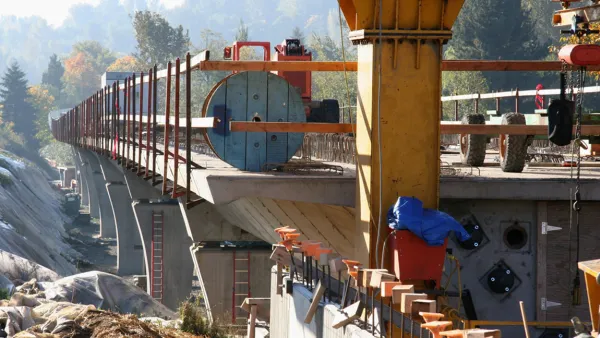
"Cities across the country are waking up to new bus and rail lines in droves. In 2016, North American transit agencies are expected to open 245 miles of new fixed-guideway transit lines, including 89 miles of bus rapid transit, 93 miles of commuter rail, 7 miles of heavy rail, 39 miles of light rail, and 18 miles of streetcars. This is more than triple the new mileage of such lines opened in 2015."
Freemark has been doing inventories of expected transit projects since 2009, but this is the first time the effort is supplemented by Transit Explorer. The article also includes a lot of political context on the "long road to 2016" that enabled all of these projects. Freemark is offering a big, ambitious effort to make sense of the country's progress in transit.
FULL STORY: Openings and Construction Starts Planned for 2016

Transit Projects to Watch in 2015
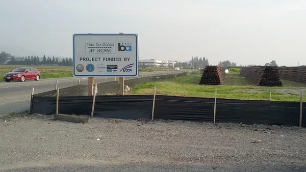
The Transport Politic provides its seventh annual list of major transit investments, finding an enormous amount of effort and funds going into improving transportation systems around North America.
Ranking the Sustainability of Transportation Systems in North American Cities
Out of 23 cities, New York City came in first, Indianapolis came in 23rd.
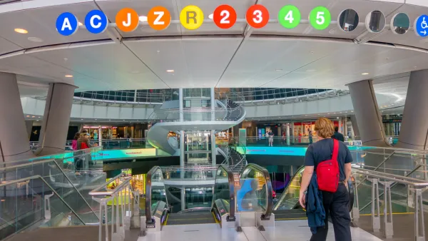
Today: BART Goes Farther South Than Ever Before
As it has promised for years, Bay Area Rapid Transit today opens the Warm Springs/South Fremont extension of the regional rail transit system. The first train departs at the station at 5:48 am, and the first train arrives at 7:04 am.

National Parks Layoffs Will Cause Communities to Lose Billions
Thousands of essential park workers were laid off this week, just before the busy spring break season.

Retro-silient?: America’s First “Eco-burb,” The Woodlands Turns 50
A master-planned community north of Houston offers lessons on green infrastructure and resilient design, but falls short of its founder’s lofty affordability and walkability goals.

Delivering for America Plan Will Downgrade Mail Service in at Least 49.5 Percent of Zip Codes
Republican and Democrat lawmakers criticize the plan for its disproportionate negative impact on rural communities.

Test News Post 1
This is a summary

Test News Headline 46
Test for the image on the front page.

Balancing Bombs and Butterflies: How the National Guard Protects a Rare Species
The National Guard at Fort Indiantown Gap uses GIS technology and land management strategies to balance military training with conservation efforts, ensuring the survival of the rare eastern regal fritillary butterfly.
Urban Design for Planners 1: Software Tools
This six-course series explores essential urban design concepts using open source software and equips planners with the tools they need to participate fully in the urban design process.
Planning for Universal Design
Learn the tools for implementing Universal Design in planning regulations.
EMC Planning Group, Inc.
Planetizen
Planetizen
Mpact (formerly Rail~Volution)
Great Falls Development Authority, Inc.
HUDs Office of Policy Development and Research
NYU Wagner Graduate School of Public Service