


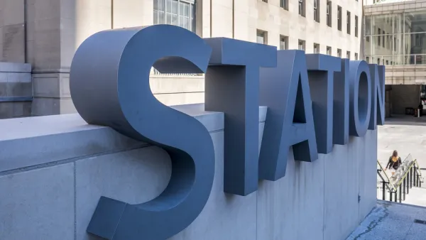
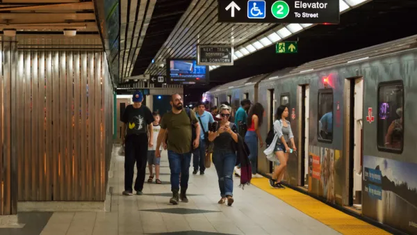
What's being described as an unprecedented outreach program will gather public feedback on a total of seven provincial and city-led transit projects for the Toronto area.
Tess Kalinoswki broke the news yesterday of a big announcement for transit in Toronto—a proposal that Toronto Chief Planner Jennifer Keesmaat called the 'motherlode' of transit planning.
"The result is a series of maps that show how the spine of Toronto transit — subways, GO tracks and streetcar rights-of-way — will steadily fill in with new rapid routes including trains, LRTs and busways," according to Kalinowski. The article includes a transit map of the proposed routes that will serve as suitable eye candy for fans of public transit.
Much of the day's news was devoted to the task of raising awareness about the outreach process that also launched yesterday. So far, the engagement process calls for 18 open houses.
The article also provides a list of the component projects included in the overall proposal. More details are included in the article:
- SmartTrack
- Relief Line
- Scarborough Subway Extension
- New GO/SmartTrack Stations
- Integrated Fares
- Regional Transportation Plan Review
FULL STORY: Planners want public’s input on ‘motherlode’ of GTA transit

How Real Are Toronto's Big Transit Plans?
Age-old transit planning questions will be raised over the next year in Toronto.
Toronto Transit Plans Take First Step Forward
The first phase of Toronto's 15-tear transit plan took a crucial step forward this week.
Toronto Subway Plan Gains Federal Backing
A key piece of the funding required to achieve Ontario Premier Doug Ford's vision for an expanded subway system in Greater Toronto Area clicked into place this week.

National Parks Layoffs Will Cause Communities to Lose Billions
Thousands of essential park workers were laid off this week, just before the busy spring break season.

Retro-silient?: America’s First “Eco-burb,” The Woodlands Turns 50
A master-planned community north of Houston offers lessons on green infrastructure and resilient design, but falls short of its founder’s lofty affordability and walkability goals.

Delivering for America Plan Will Downgrade Mail Service in at Least 49.5 Percent of Zip Codes
Republican and Democrat lawmakers criticize the plan for its disproportionate negative impact on rural communities.

Test News Post 1
This is a summary

Test News Headline 46
Test for the image on the front page.

Balancing Bombs and Butterflies: How the National Guard Protects a Rare Species
The National Guard at Fort Indiantown Gap uses GIS technology and land management strategies to balance military training with conservation efforts, ensuring the survival of the rare eastern regal fritillary butterfly.
Urban Design for Planners 1: Software Tools
This six-course series explores essential urban design concepts using open source software and equips planners with the tools they need to participate fully in the urban design process.
Planning for Universal Design
Learn the tools for implementing Universal Design in planning regulations.
EMC Planning Group, Inc.
Planetizen
Planetizen
Mpact (formerly Rail~Volution)
Great Falls Development Authority, Inc.
HUDs Office of Policy Development and Research
NYU Wagner Graduate School of Public Service