


The 6.2 mile, two-station electrified commuter rail line is opening as expected next Monday, July 25, but future service to the northwestern counties of Broomfield and Boulder will be delayed due to an unexpected funding shortfall.
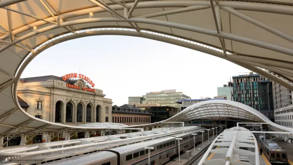
Festivities for the Regional Transit District's (RTD) new B Line are planned at the line's two initial stations, Union Station and Westminster Station, located in the northwest suburb of Westminster, a city of 106,000 (2010 census), located in Adams and Jefferson counties.
"The 11-minute, one-way ride will cost $2.60," reports John Aguilar for The Denver Post. However, residents in Broomfield and Boulder counties will have to wait for some time before they see service.
But for many living farther up the northwest corridor — in communities such as Broomfield, Louisville, Boulder and Longmont — the B-Line opening will feel less satisfying. Louisville Mayor Bob Muckle characterized his invitation to the ribbon-cutting at the new Westminster Station...as “sort of bittersweet.”
Courtesy of Regional Transit District (RTD)

The delay results from a severe funding shortfall due to "tax revenue projections that outstripped collections and higher-than-anticipated construction costs...much of it falling disproportionately on the northwest corridor," adds Aguilar.
It may even take as long as 2042, depending on the cash flow situation at the RTD, before the full line is up and running.
An October 2013 post compares rail vs. bus rapid transit for the corridor. At that time, light rail, not commuter rail, was being considered.
Unlike the 23-mile, eight-station A Line from Union Station to Denver International Airport, with headways of 15 minutes, the initial B Line to Westminster will have half-hour peak and hourly off-peak headways.
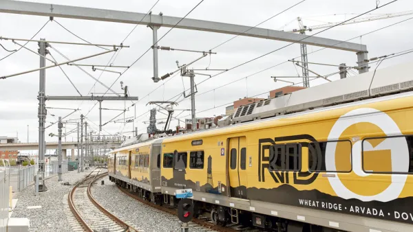
RTD will open two more rail lines this year: the G commuter rail line in the fall and R light rail line extension in winter.
Hat tip to Annie Dawid.
FULL STORY: B-Line opening forges rail link to Denver’s northern suburbs for the first time

Denver's B Line to Westminster Now Open for Service
After Monday's celebrations at the new, electrified commuter rail line's only two stations, Union Station and Westminster Station, commuters now have the option of taking an 11-minute, six-mile ride to Denver, costing $2.60.
B Line Commuter Rail Extension Gets a Green Light in Colorado
The Board of Directors for the Regional Transportation District has given a preliminary green light to accelerate planning work on the B Line extension from Denver to Boulder and Longmont.
Political Pressure Reinvigorates B Line Extension Plans in Colorado
The CEO of the Regional Transportation District speculated recently about whether a planned extension of the B Line to Boulder was necessary or desirable. The governor doesn't think the speculation was necessary or desirable.

National Parks Layoffs Will Cause Communities to Lose Billions
Thousands of essential park workers were laid off this week, just before the busy spring break season.

Retro-silient?: America’s First “Eco-burb,” The Woodlands Turns 50
A master-planned community north of Houston offers lessons on green infrastructure and resilient design, but falls short of its founder’s lofty affordability and walkability goals.

Delivering for America Plan Will Downgrade Mail Service in at Least 49.5 Percent of Zip Codes
Republican and Democrat lawmakers criticize the plan for its disproportionate negative impact on rural communities.

Test News Post 1
This is a summary

Test News Headline 46
Test for the image on the front page.

Balancing Bombs and Butterflies: How the National Guard Protects a Rare Species
The National Guard at Fort Indiantown Gap uses GIS technology and land management strategies to balance military training with conservation efforts, ensuring the survival of the rare eastern regal fritillary butterfly.
Urban Design for Planners 1: Software Tools
This six-course series explores essential urban design concepts using open source software and equips planners with the tools they need to participate fully in the urban design process.
Planning for Universal Design
Learn the tools for implementing Universal Design in planning regulations.
EMC Planning Group, Inc.
Planetizen
Planetizen
Mpact (formerly Rail~Volution)
Great Falls Development Authority, Inc.
HUDs Office of Policy Development and Research
NYU Wagner Graduate School of Public Service