


The National League of Cities is preparing for a future where cities will need to regulate the use of airspace by commercial drones.
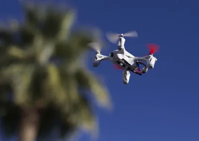
"While fully self-driving cars may still be a decade or so away, remotely piloted and even automated drones are already here," according to an article Elias Stahl, and it's time for cities to prepare for the expanded use of drones.
According to Stahl, the Federal Aviation Administration released regulations for the use of drones in U.S. airspace in June in anticipation of the number of drones growing "from 2.5 million in 2016 to 7 million by 2020…" But those federal regulations "leave the bulk of enforcement and regulation to local and state government."
There are already examples of cities deploying drones for their own purposes, but as with many other forms of mobility, innovation so far is outpacing regulation. To advance the role of cities in maintaining control of their airspace, the National League of Cities released a new "Cities and Drones" [pdf] guide for municipalities. "The challenge for local officials will be crafting policy and regulations that enable this drone technology to serve their cities best, embracing innovation, while still considering the safety and privacy concerns of their residents," according to Stahl.
FULL STORY: Drones Will Have an Impact on Your City. Here’s What You Need to Know.


Could You Pass the Drone License Test?
The new exam is required nationwide for commercial use of drones.
A New Era for Drone Aviation
New rules for commercial drone aviation went into effect on August 29, clearing the way for rapid adoption of the technology.
Mapping Drone No-Fly Zones
While the FAA sorts out regulations for commercial drone flights in the United States, cities, states, and other groups have already restricted the flight of drones. Mapbox is working to compile a comprehensive map of prohibited air space.

National Parks Layoffs Will Cause Communities to Lose Billions
Thousands of essential park workers were laid off this week, just before the busy spring break season.

Retro-silient?: America’s First “Eco-burb,” The Woodlands Turns 50
A master-planned community north of Houston offers lessons on green infrastructure and resilient design, but falls short of its founder’s lofty affordability and walkability goals.

Delivering for America Plan Will Downgrade Mail Service in at Least 49.5 Percent of Zip Codes
Republican and Democrat lawmakers criticize the plan for its disproportionate negative impact on rural communities.

Test News Post 1
This is a summary

Test News Headline 46
Test for the image on the front page.

Balancing Bombs and Butterflies: How the National Guard Protects a Rare Species
The National Guard at Fort Indiantown Gap uses GIS technology and land management strategies to balance military training with conservation efforts, ensuring the survival of the rare eastern regal fritillary butterfly.
Urban Design for Planners 1: Software Tools
This six-course series explores essential urban design concepts using open source software and equips planners with the tools they need to participate fully in the urban design process.
Planning for Universal Design
Learn the tools for implementing Universal Design in planning regulations.
EMC Planning Group, Inc.
Planetizen
Planetizen
Mpact (formerly Rail~Volution)
Great Falls Development Authority, Inc.
HUDs Office of Policy Development and Research
NYU Wagner Graduate School of Public Service