


Community input is crucial to a plan that would wrap Portland in a ring of greenery and pathways.
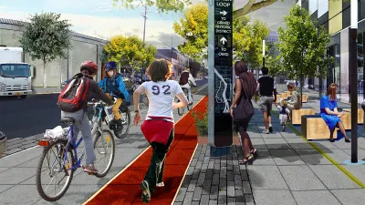
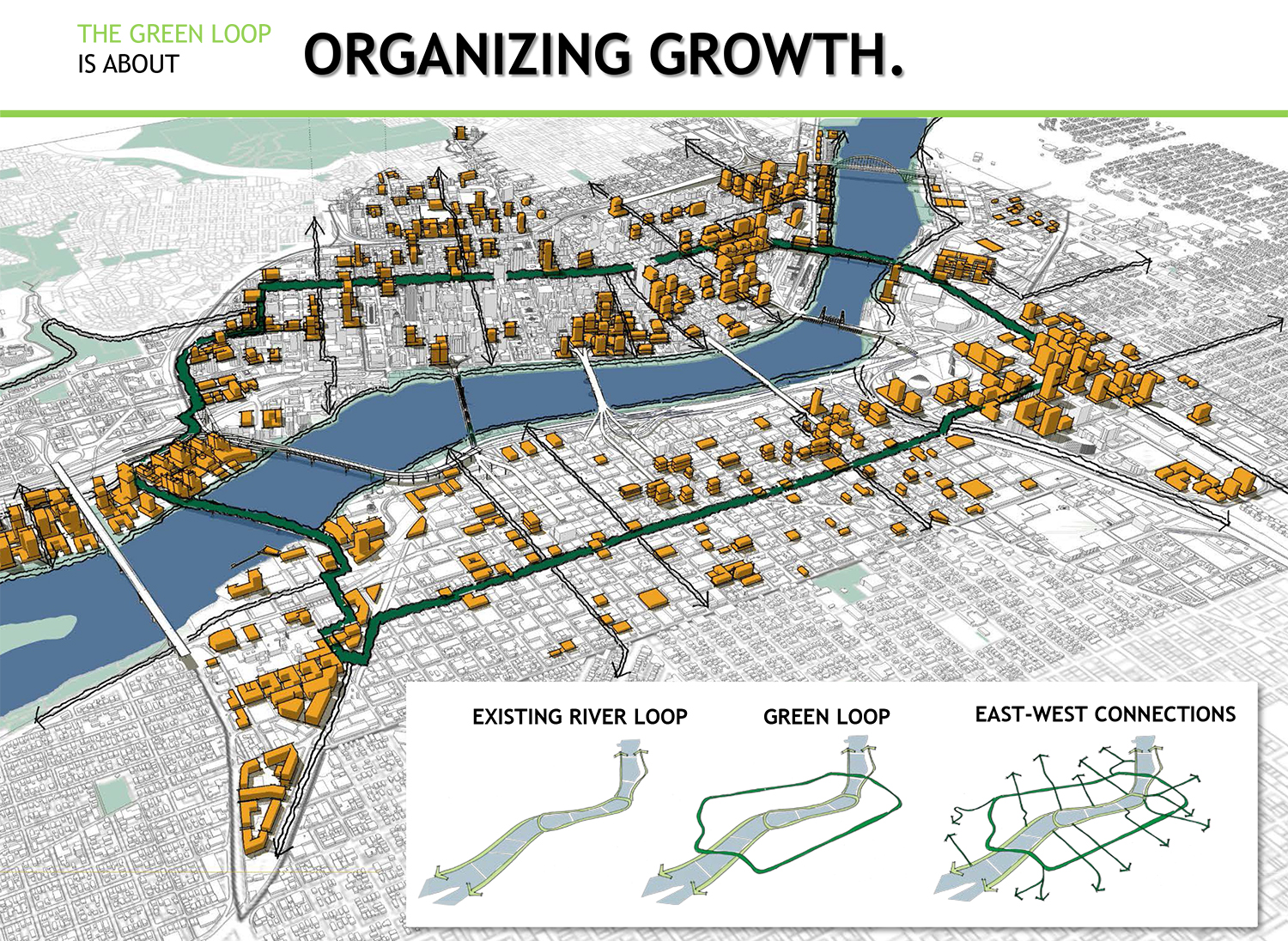
The Green Loop [pdf] is a proposed six-mile network of narrow parks that would link neighborhoods on either side of the Willamette River. Jen Kinney of Next City describes the vision thusly:
At about half the size of a typical Portland city block, the 24 narrow Park Blocks are just what they sound like: corridors of green spaces promenading through the city center. But the north and south segments are disjointed … If linked by a pedestrian and bike path, the Park Blocks would comprise about a mile of the Green Loop; the route would then continue, ultimately encircling the dense neighborhoods on both the east and west sides.
Part of Portland's pending Central City 2035 plan, the proposal is still conceptual. Recently, a pop-up exhibition during an open streets event invited the public to participate in the design process. Untitled Studio, the firm implementing the design, asked visitors to plot potential courses on a map, as well as on a 3D model of a streetscape.
The group is comprised of architects as well as journalists, and Next City details several other comprehensive, interactive community engagement strategies it is developing as part of the design process.
FULL STORY: Portlanders Asked to Imagine Linear Park Design

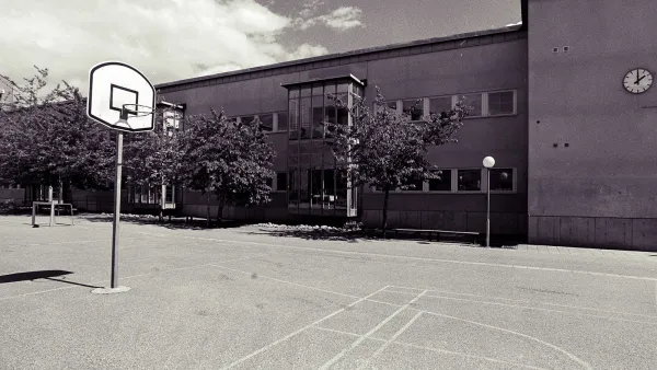
'Greening' L.A.'s Schoolyards
Advocates for increasing green space on school campuses say giving students a more healthy outdoor environment can also reduce the urban heat island effect and improve public health in historically underserved communities.
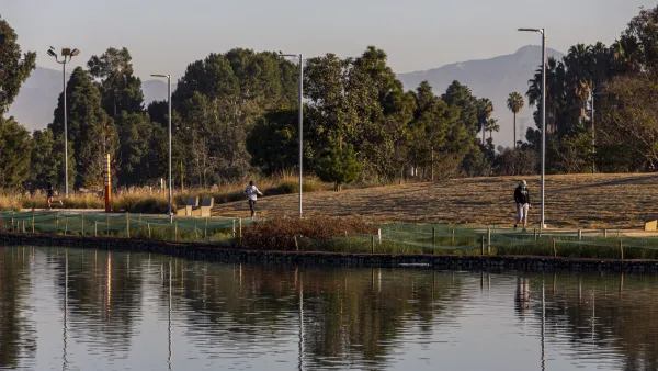
Magic Johnson Park to Reopen in February
A much-needed park in South Los Angeles will reopen to the public after undergoing major renovations.

Houston Residents Want to Build Pocket Parks on City-Owned Lots
In a park-poor neighborhood, vacant lots provide an untapped opportunity for small-scale parks.

National Parks Layoffs Will Cause Communities to Lose Billions
Thousands of essential park workers were laid off this week, just before the busy spring break season.

Retro-silient?: America’s First “Eco-burb,” The Woodlands Turns 50
A master-planned community north of Houston offers lessons on green infrastructure and resilient design, but falls short of its founder’s lofty affordability and walkability goals.

Delivering for America Plan Will Downgrade Mail Service in at Least 49.5 Percent of Zip Codes
Republican and Democrat lawmakers criticize the plan for its disproportionate negative impact on rural communities.

Test News Post 1
This is a summary

Test News Headline 46
Test for the image on the front page.

Balancing Bombs and Butterflies: How the National Guard Protects a Rare Species
The National Guard at Fort Indiantown Gap uses GIS technology and land management strategies to balance military training with conservation efforts, ensuring the survival of the rare eastern regal fritillary butterfly.
Urban Design for Planners 1: Software Tools
This six-course series explores essential urban design concepts using open source software and equips planners with the tools they need to participate fully in the urban design process.
Planning for Universal Design
Learn the tools for implementing Universal Design in planning regulations.
EMC Planning Group, Inc.
Planetizen
Planetizen
Mpact (formerly Rail~Volution)
Great Falls Development Authority, Inc.
HUDs Office of Policy Development and Research
NYU Wagner Graduate School of Public Service