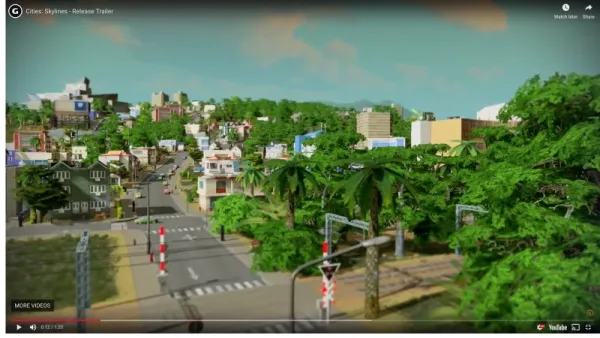
The continued improvement of digital technology should benefit evidence-based policy and decision-making. Welcome to a new era of planning simulations.

Laura Adler surveys the world of data-driven simulations in the field of planning. Simulations have been a part of planning practice for decades, as Adler notes, but recent improvements in data collection and computing power empower planners in new and constantly evolving ways.
Adler surveys the latest in technology, grouping the state of the art in simulation into two groups:
Comprehensive Models
- UrbanSim, founded by University of California, Berkeley Professor Paul Waddell, "allows users to run simulations, draw from a library of open data, and produce visualizations."
- MIT's Changing Places initiative has developed CityScope, "an urban simulation tool that integrates physical representation—using Legos—with projections and visualization tools."
- Participatory Chinatown, from Emerson College, "used a multiplayer game format to engage citizens in a number of simulated neighborhood activities inside a digital recreation of Boston’s Chinatown."
Specific Systems
- The "urban intelligence network," or AURIN, from Australia, "is a state-run resource for the nation’s cities and towns that provides datasets and online tools for analysis, modeling, and visualization."
- "In Chicago, the Metropolitan Planning Council developed the TOD Calculator (for Transit Oriented Development) to help residents learn about the economic and sustainability benefits of potential TOD sites."
- Arizona State University researchers developed the Phoenix WaterSim "to help the Phoenix metropolitan government estimate supply and demand in order to effectively manage its limited resources."
The survey includes more examples of each variety. Also included in the article are simple descriptions of the benefits of simulation, including the ability to anticipate and mitigate unintended consequences and to bridge gaps of representation in the planning process.
FULL STORY: SimCities: Can City Planning Mistakes Be Avoided Through Data-Driven Simulations?

National Parks Layoffs Will Cause Communities to Lose Billions
Thousands of essential park workers were laid off this week, just before the busy spring break season.

Retro-silient?: America’s First “Eco-burb,” The Woodlands Turns 50
A master-planned community north of Houston offers lessons on green infrastructure and resilient design, but falls short of its founder’s lofty affordability and walkability goals.

Delivering for America Plan Will Downgrade Mail Service in at Least 49.5 Percent of Zip Codes
Republican and Democrat lawmakers criticize the plan for its disproportionate negative impact on rural communities.

Test News Post 1
This is a summary

Test News Headline 46
Test for the image on the front page.

Balancing Bombs and Butterflies: How the National Guard Protects a Rare Species
The National Guard at Fort Indiantown Gap uses GIS technology and land management strategies to balance military training with conservation efforts, ensuring the survival of the rare eastern regal fritillary butterfly.
Urban Design for Planners 1: Software Tools
This six-course series explores essential urban design concepts using open source software and equips planners with the tools they need to participate fully in the urban design process.
Planning for Universal Design
Learn the tools for implementing Universal Design in planning regulations.
EMC Planning Group, Inc.
Planetizen
Planetizen
Mpact (formerly Rail~Volution)
Great Falls Development Authority, Inc.
HUDs Office of Policy Development and Research
NYU Wagner Graduate School of Public Service


